
E-commerce for Drone Operators
We’ve been supplying equipment to Scandinavian drone operators for nearly 10 years and are here to help you achieve successful drone operations. We ship your orders from our own warehouse just south of Halmstad.
We offer equipment, training, and consulting services.

Entreprenad Live - 10-12 September
Besök vår monter på Entreprenad Live på Ring Knutstorp den 10-12 September.
Här får du se vårt senaste utbud av drönare, RTK-rovers och programvaror för drönarbaserad och handhållen mätning.
>> HÄR FÅR DU GRATIS BILJETTER <<

Latest News from Emlid
Get started with handheld scanning!
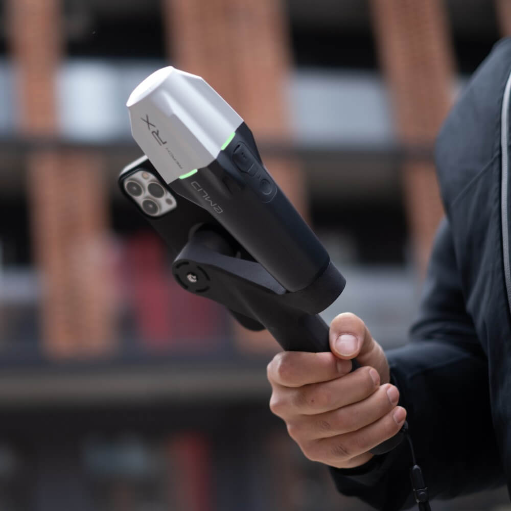
Pix4D & Emlid Scanning Kit
With the Pix4D & Emlid Scanning Kit, you can turn your iPhone into a scanner with RTK-level accuracy. Perfect for documenting groundwork or water and sewer—
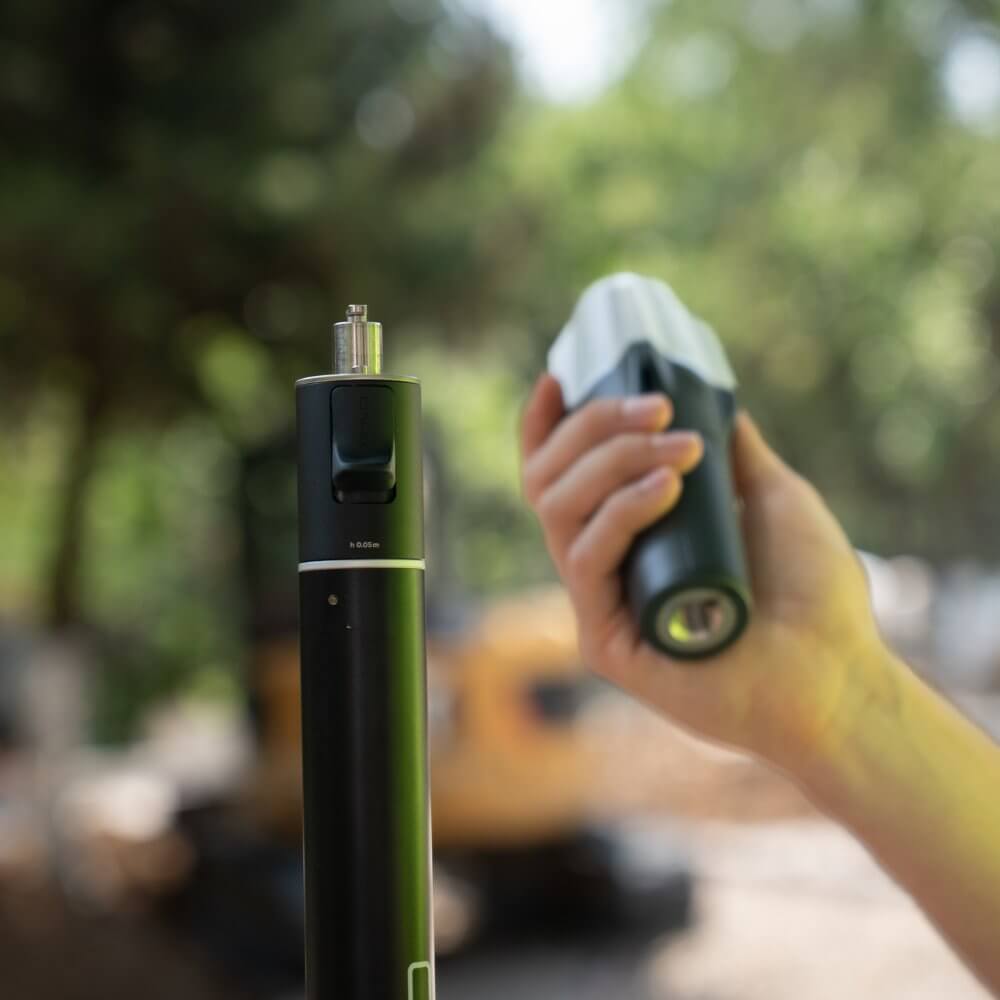
New Emlid Reach RX2
The new Emlid Reach RX2 has received a major upgrade and now features a significantly better GNSS receiver and an IMU with tilt compensation.

Latest news from the blog!
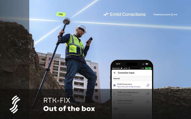
Emlid Corrections ger dig RTK-FIX snabbt och enkelt
Published: date by: authorKorrektionsdata är ofta den krångligaste delen av en RTK-mätning. Är det rätt IP-adress och port? Vilken anslutningspunkt (mount point) gäller h...
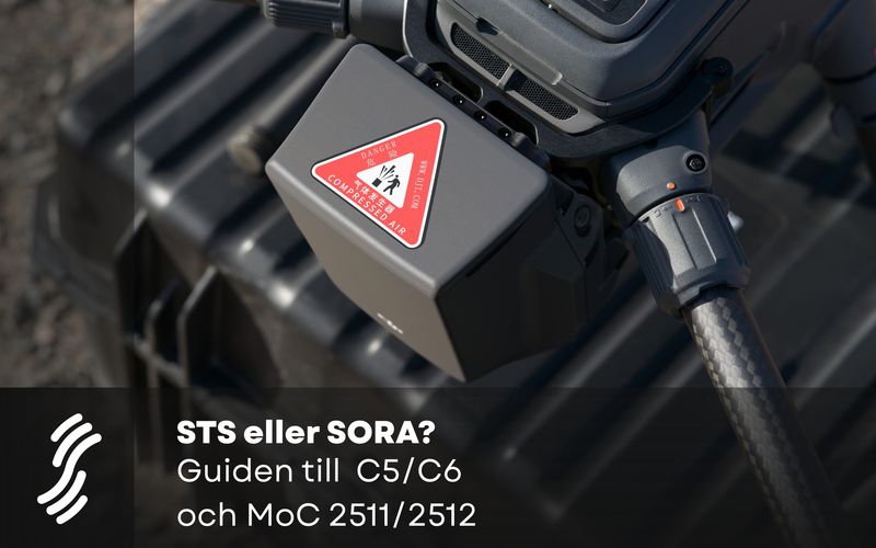
STS or SORA? A Guide to C5/C6 and MoC 2511/2512
Published: date by: authorIf you’re planning to fly more advanced missions in this specific category—over people, in urban areas, or beyond visual line of sight—you’ll ...
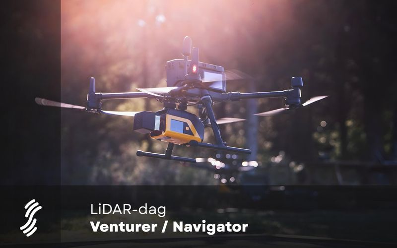
LiDAR Day: YellowScan Venturer & Navigator
Published: date by: authorVill du förstå hur drönarburen LiDAR fungerar i praktiken – och vad det kan innebära för ditt arbete inom kartläggning, infrastruktur, skog, m...