
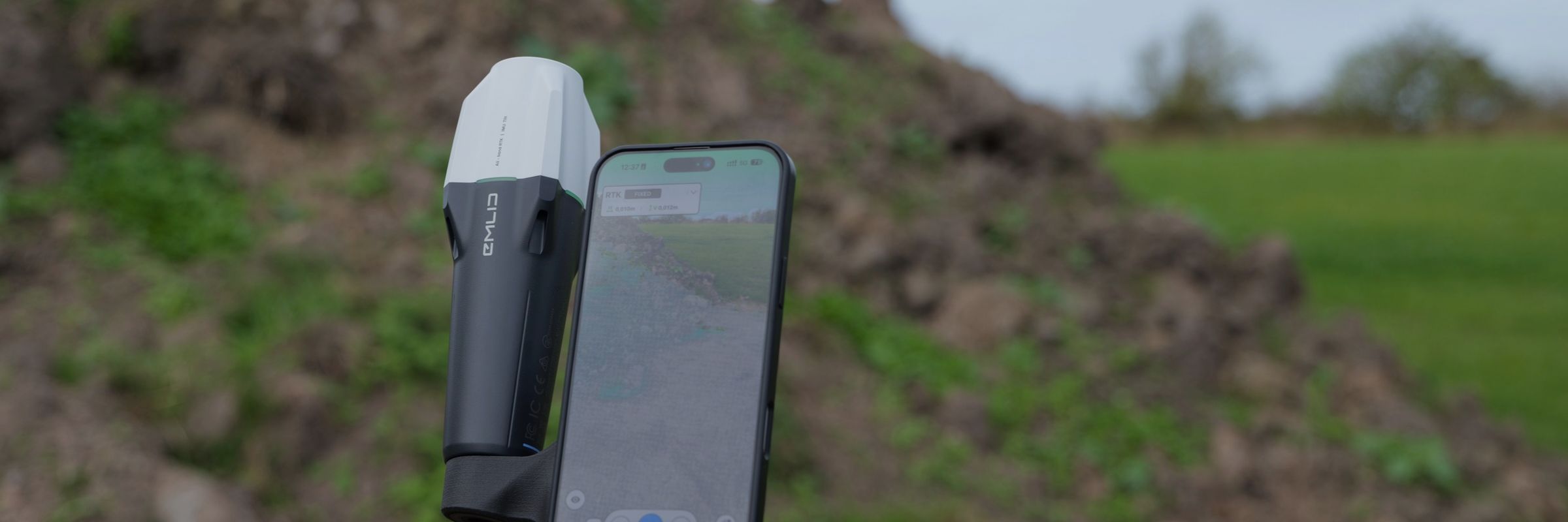
Emlid Corrections in Pix4Dcatch - RTK FIX in 1 minute
Emlid Corrections is now integrated directly into Pix4Dcatch. This does two things for users who scan with Pix4Dcatch and a Reach RX or RX2:
- It’s easier: No need to configure NTRIP. Just activate it and get started.
- It’s more affordable: Thefirst year is free, and after that, it’s about 4,000 SEK per year.
You connect the receiver to the app via Bluetooth, create an RTK profile, and select the receiver. Pix4Dcatch then automatically finds and configures the corrections.
Simpler: Activate and run
Anyone who has set up an NTRIP connection knows it can be a bit of a hassle. You need a username, password, server address, port, and the correct mount point. Just one typo is enough to make it not work, and that often happens out in the field when you’re most eager to get started.
With Emlid Corrections, you can skip all that. You activate the service once in Emlid Flow, and then you’re good to go. No usernames, no passwords, no addresses, ports, or mount points to keep track of. You connect the receiver, select it in Pix4Dcatch, and start scanning.
Below is a step-by-step guide to everything you need to activate an RX2 and select the correct settings.
Cheaper: no NTRIP subscription
Until now, the Pix4D & Emlid Scanning Kit has been a rather expensive solution when you add it all up. You’ve paid for Pix4Dcatch Professional and Pix4Dcloud (usually the Pro version), and on top of that, an NTRIP subscription to achieve centimeter-level accuracy.
Now you can skip the NTRIP subscription entirely. Emlid Corrections is included for free for the first year, for both new and existing users. After that, you can purchase a three-year subscription for 1,099 euros. That works out to about 4,000 kronor per year. By comparison, SWEPOS has a suggested price of about 12,000 kronor per year, so the cost of corrections is roughly one-third of that.
This solution is therefore more affordable, especially for those of you who already use Pix4Dcloud for drone data. In that case, you can consolidate drone maps, orthophotos, and ground scans from Catch into the same cloud service and the same coordinate system.
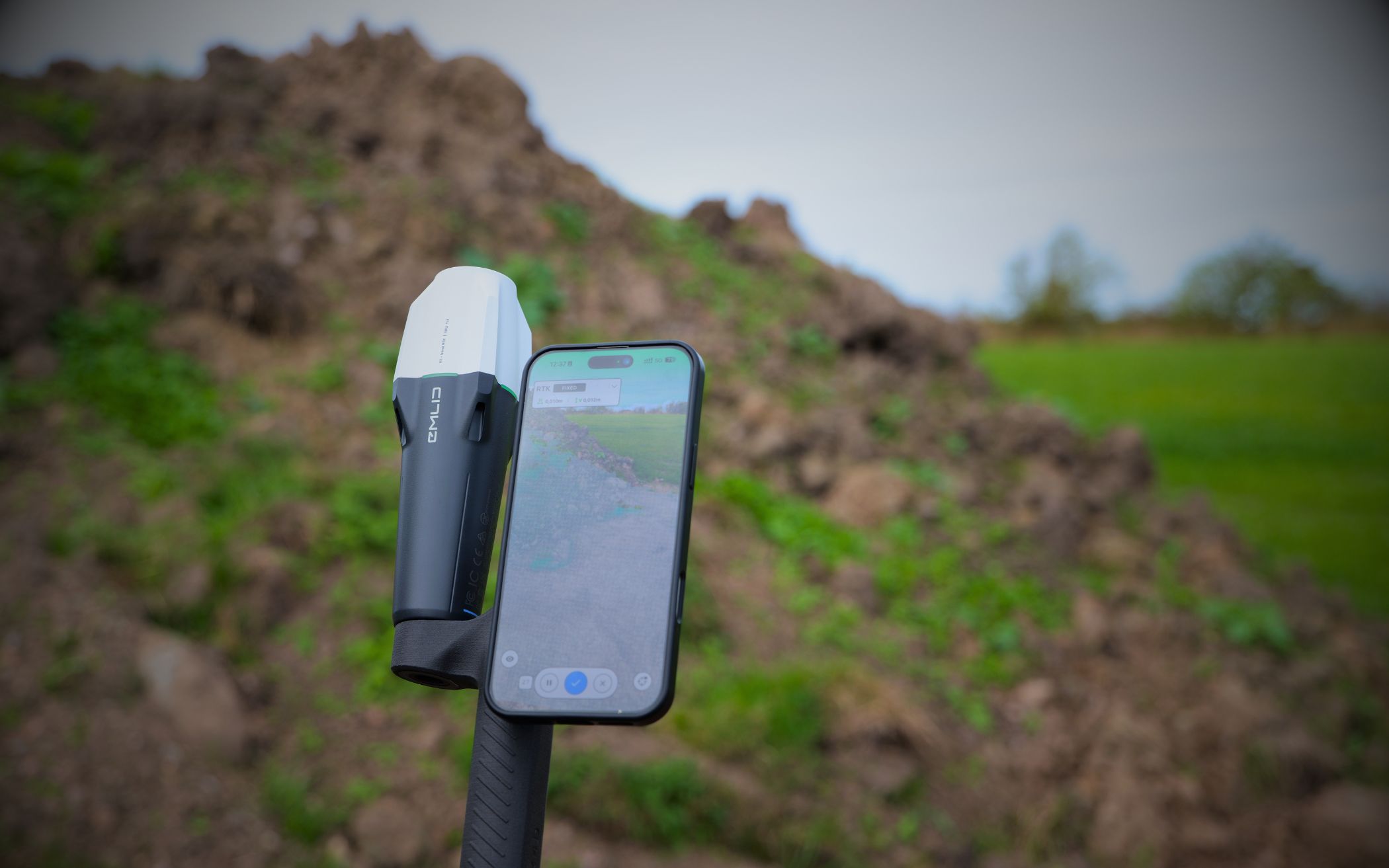
What is Pix4Dcatch good for?
Pix4Dcatch turns a smartphone or tablet into a 3D scanner. With a Reach RX or RX2 mounted, the scans are georeferenced with centimeter-level accuracy and align with the rest of the project data. The images are then processed into a 3D model, for example in Pix4Dcloud.
It’s also possible to take measurements directly within the scan in the app, but this requires LiDAR. This means you’ll need a Pro model iPhone or iPad—not a standard model or an Android device—and you’ll need to get close enough to the object for the LiDAR sensor to capture it.
Document what’s about to be buried
One of the best uses is to document what will soon disappear underground. When fiber-optic cables, electrical cables, water and sewer pipes, or district heating lines are lying in an open trench, a scan takes only a few minutes. You’ll then get an accurate, georeferenced 3D model showing where the lines are located, at what depth, and how they relate to one another.
The same applies to work performed underground, such as branch lines, valves, joints, and manholes. Once the trench is backfilled, the documentation remains. The next time you need to excavate, troubleshoot, or create as-built drawings, you’ll know exactly where everything is, instead of having to guess based on old drawings.
Set Out with AR
Pix4Dcatch also works great for stakeout using augmented reality (AR). If you have points, models, or other project data in Pix4Dcloud, you can view them in the camera view on-site, in the correct position thanks to the RTK position. This makes it easy to locate a planned point, verify where a line should run, or show a client what something will look like before work begins.
Köp Pix4D & Emlid Scanning Kit här
Summary
With Emlid Corrections built into Pix4Dcatch, it’s both easier and more affordable to get started with accurate ground scans. You don’t need an NTRIP subscription, get the first year free, and then pay about 4,000 kronor per year instead of around 12,000 kronor for SWEPOS. Together with Pix4Dcloud, you get a complete solution for both drone and ground-based documentation.
Would you like to learn more about the Pix4D & Emlid Scanning Kit or how it fits into your workflow? Get in touch with us.