

Buying Guide - YellowScan LiDAR
For most people, a LiDAR system is a major investment, and it can be difficult to find the right one in a jungle of different systems with a host of different specifications and features. In addition, you need to find the right drone to carry the system and the right software to process the data. In this article, we will try to clear up any questions you may have and help you on your way.
YellowScan has a wide range of LIDAR systems, from the entry-level Mapper/Mapper+ models to the top-of-the-line Voyager for topographic scanning and Navigator for bathymetric scanning.
Topographic or bathymetric
Since YellowScan has both topographic and bathymetric systems, this is the first question we ask ourselves. Will you only be scanning on land, or will you also be scanning underwater? If you are going to use the system for bathymetry, the choice is simple: go for the Navigator.
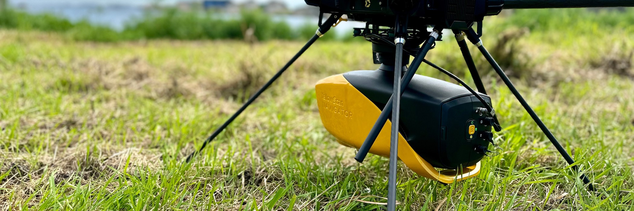
If you will primarily be using the system on land and topography, we usually start by asking what the system will be used for and what technical specifications you need to meet. The most common specifications are accuracy, precision, pulse frequency, and field of view.
Once we know this, we can recommend the most suitable system. Below you will find all YellowScan systems with these specifications.
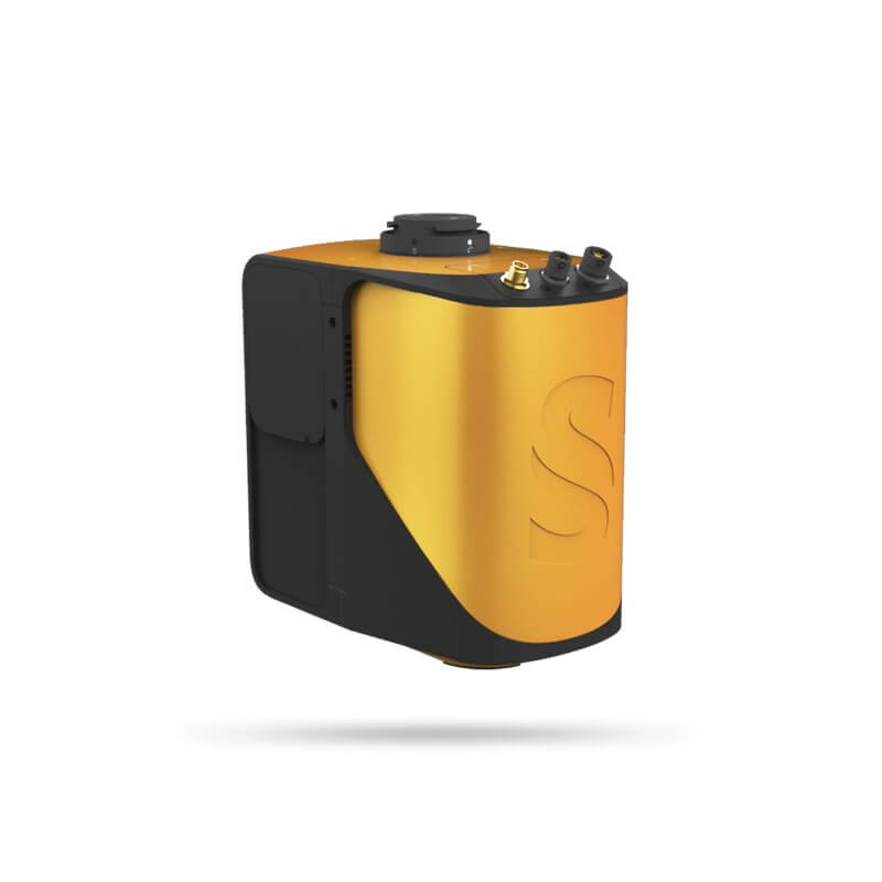
Folders
-Accuracy:4 cm
-Precision: 4 cm
-Pulse frequency: 240kHz
- Field of View: 81.7° x 21.5°
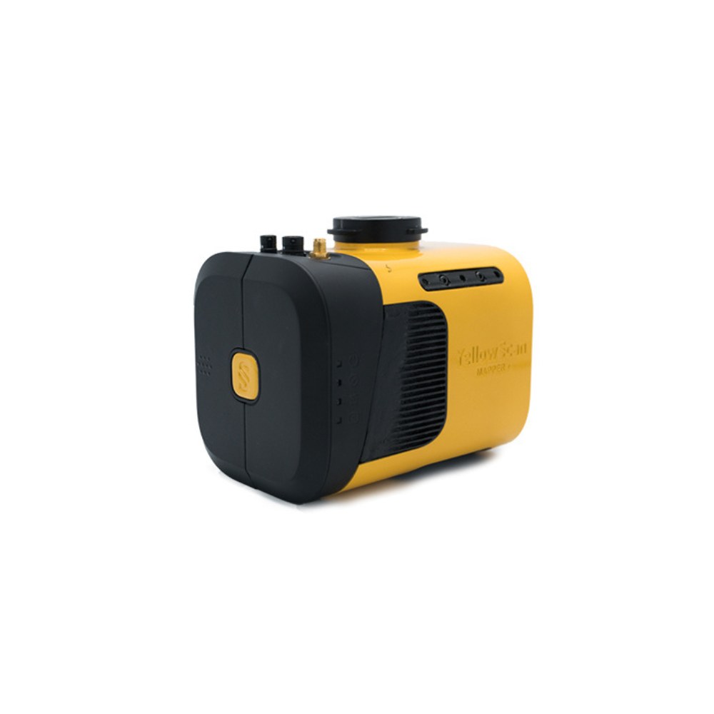
Folders+
- Accuracy: 4 cm
- Precision: 3.5 cm
- Pulse frequency: 240kHz
- Field of View: 70.4° x 4.5°
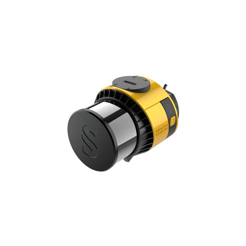
Surveyor Ultra
- Accuracy: 2 .5 cm
- Precision: 3 cm
- Pulse frequency: 640kHz
- Field of view: 360° x 40.3°
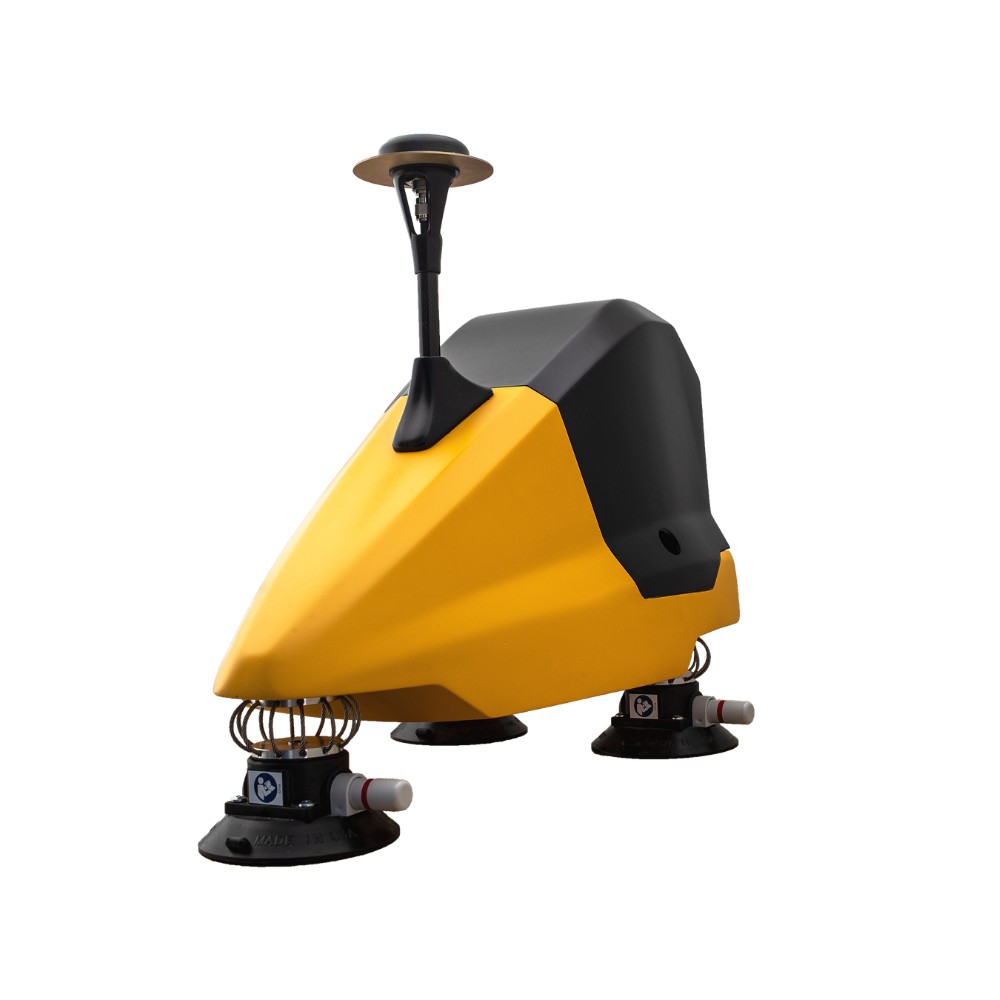
Fly & Drive
Used in conjunction with Surveyor Ultra for mobile scanning.
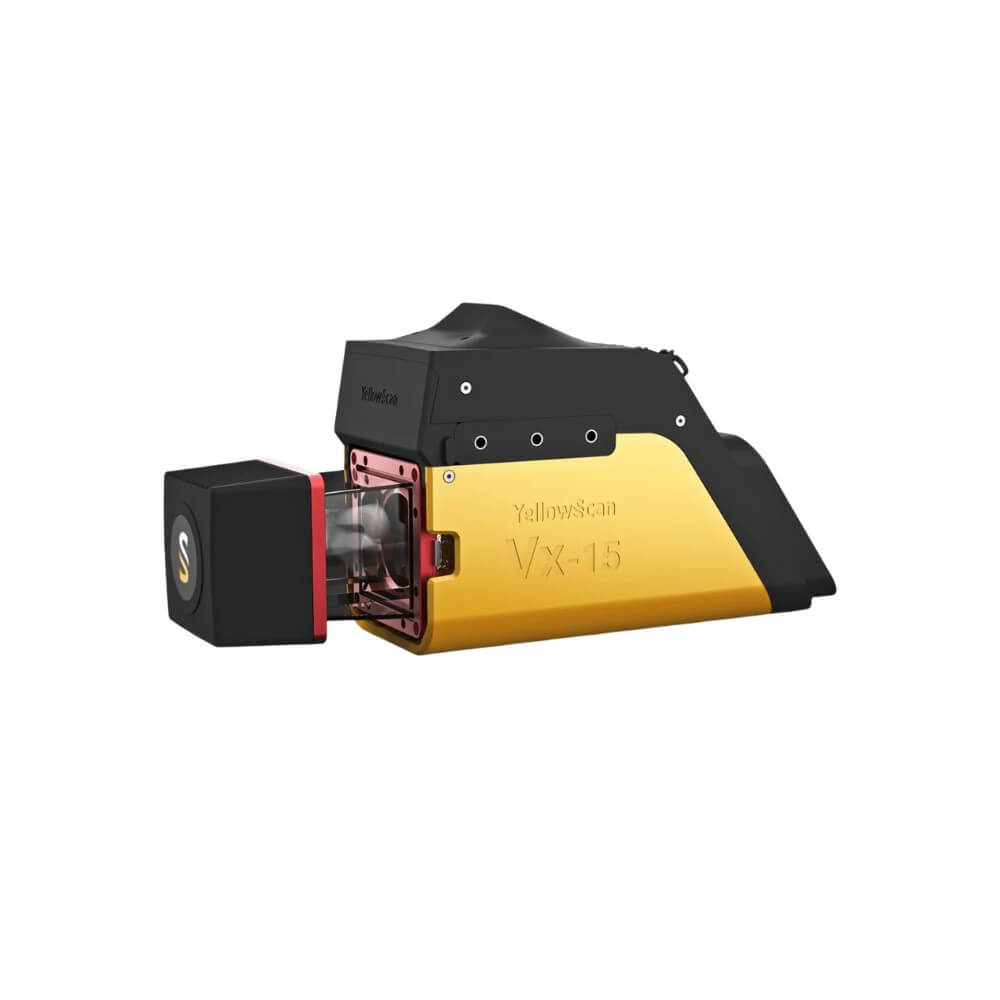
Vx15
- Accuracy: 5cm
- Precision: 1 cm
- Pulse frequency: 100/300 kHz
- Field of View: 360°
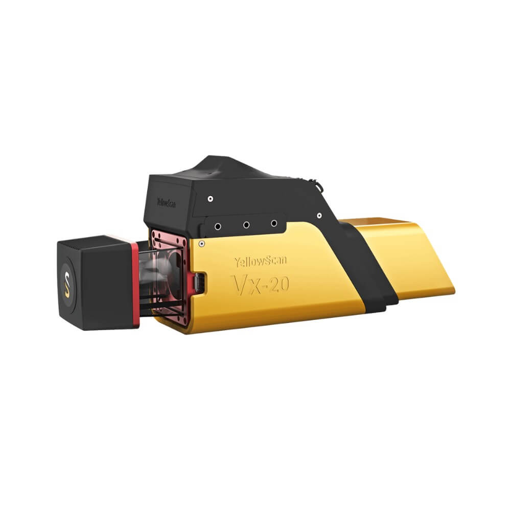
Vx20
- Accuracy: 2.5 cm
- Precision: 1 cm
- Pulse frequency: 100/300 kHz
- Field of view: 360°
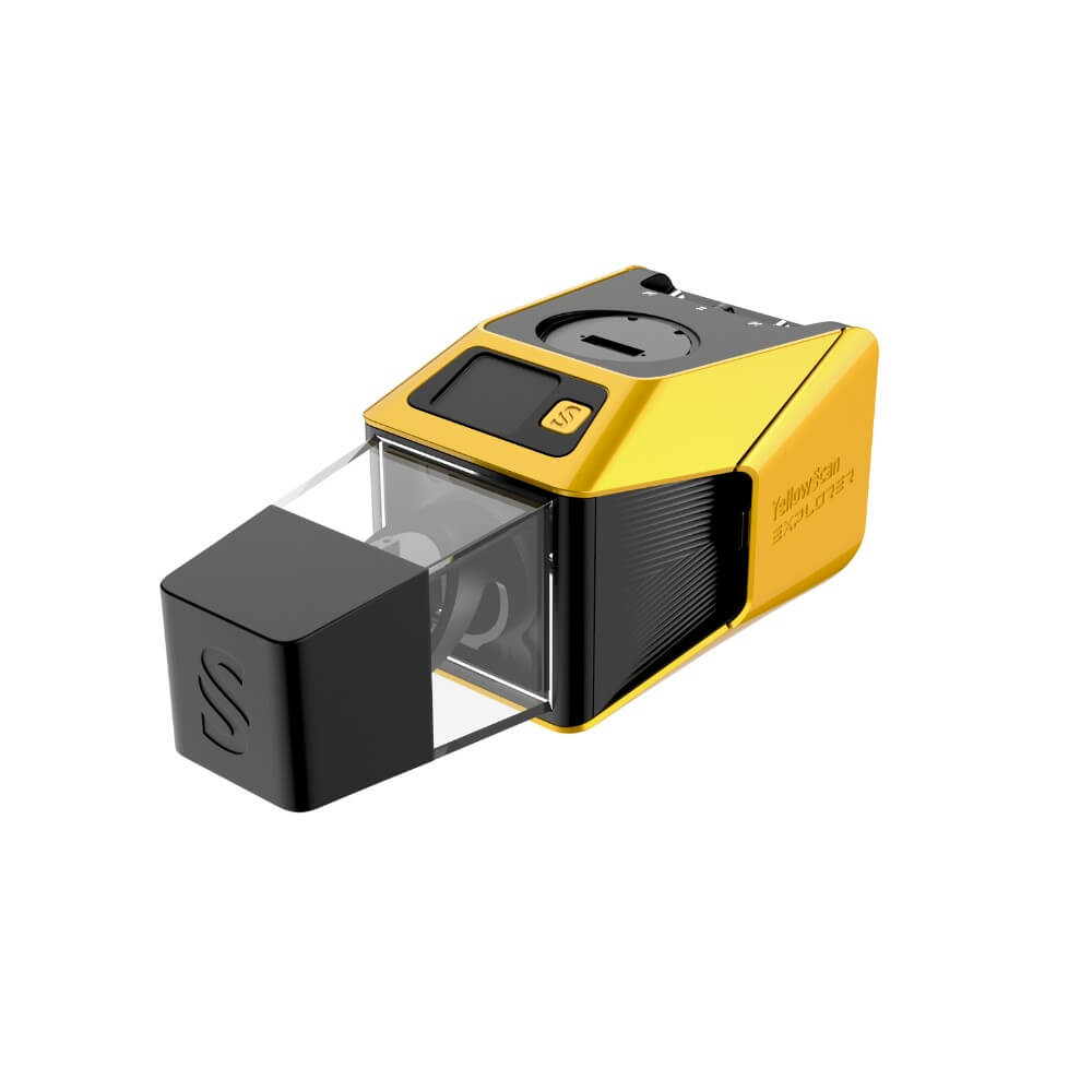
Explorer 2
-Accuracy:2 cm
-Precision: 2 cm
-Pulse frequency: 500kHz
- Field of view: 360°
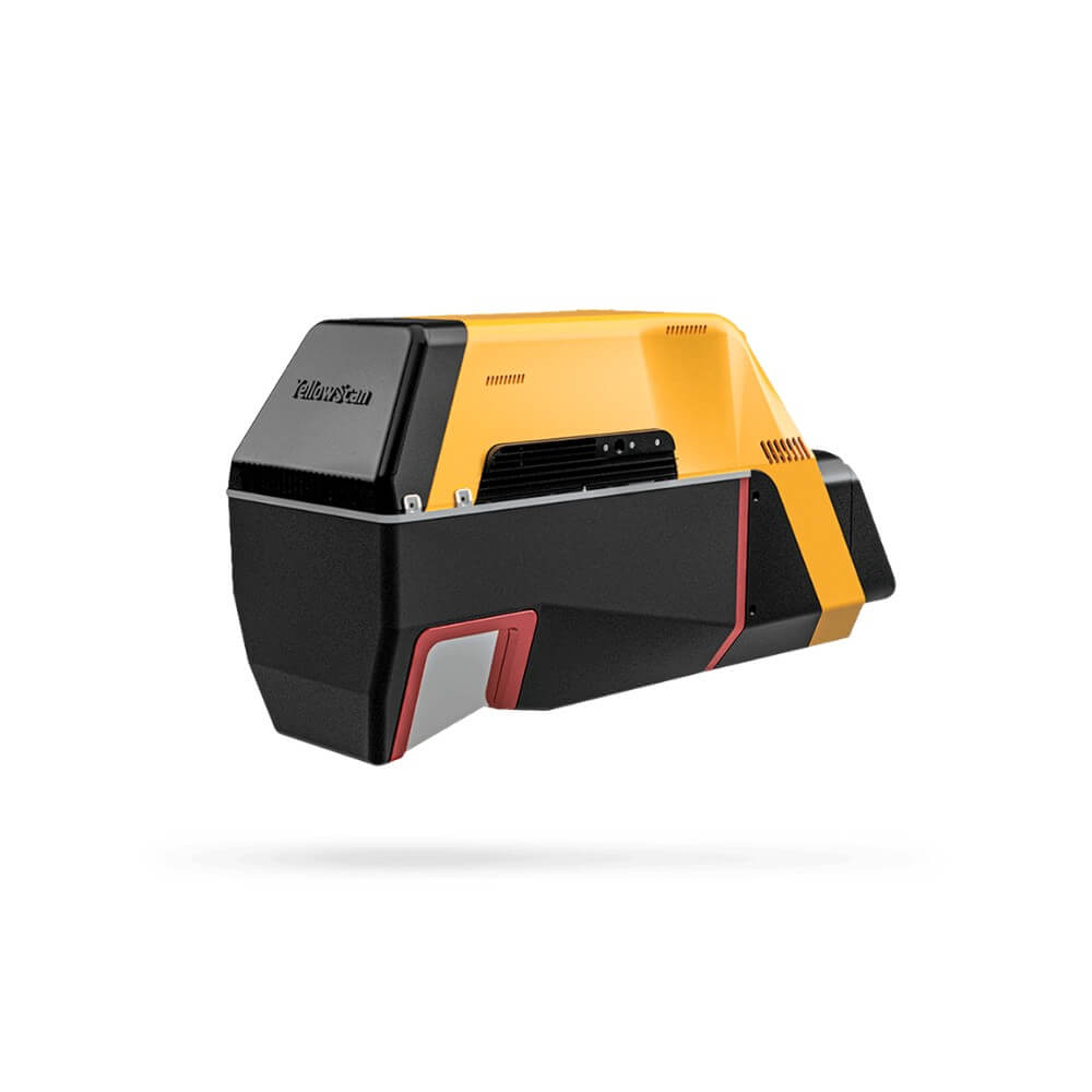
Voyager
-Accuracy:1cm
-Precision: 0 .5 cm
-Pulse frequency: 2 .4 mHz
- Field of View: 100° x 20°
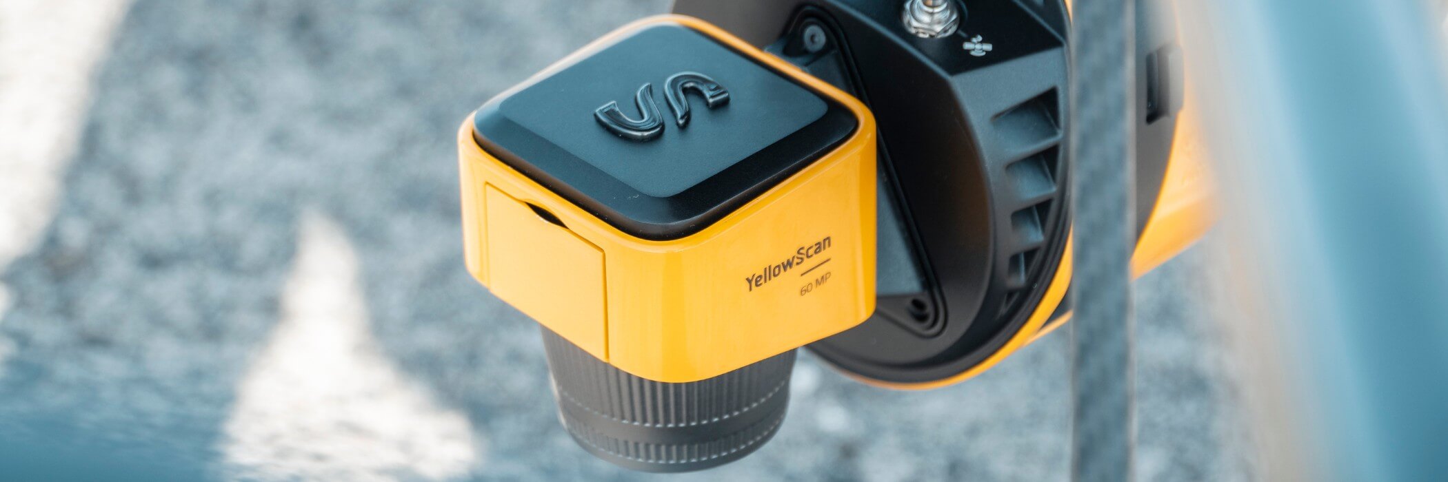
Camera modules
YellowScan's newer systems have built-in cameras for colouring point clouds, and these can be used to some extent to generate lower-resolution orthophotos. If you need higher-resolution, more detailed orthophotos, or want to use the images separately for analysis, you can add external camera modules.
These are mounted on the back of the LiDAR systems with which they are compatible and are controlled automatically when you start scanning.
Compatible systems are currently:
- Mapper+
- Surveyor Ultra
- Explorer 2
- Voyager
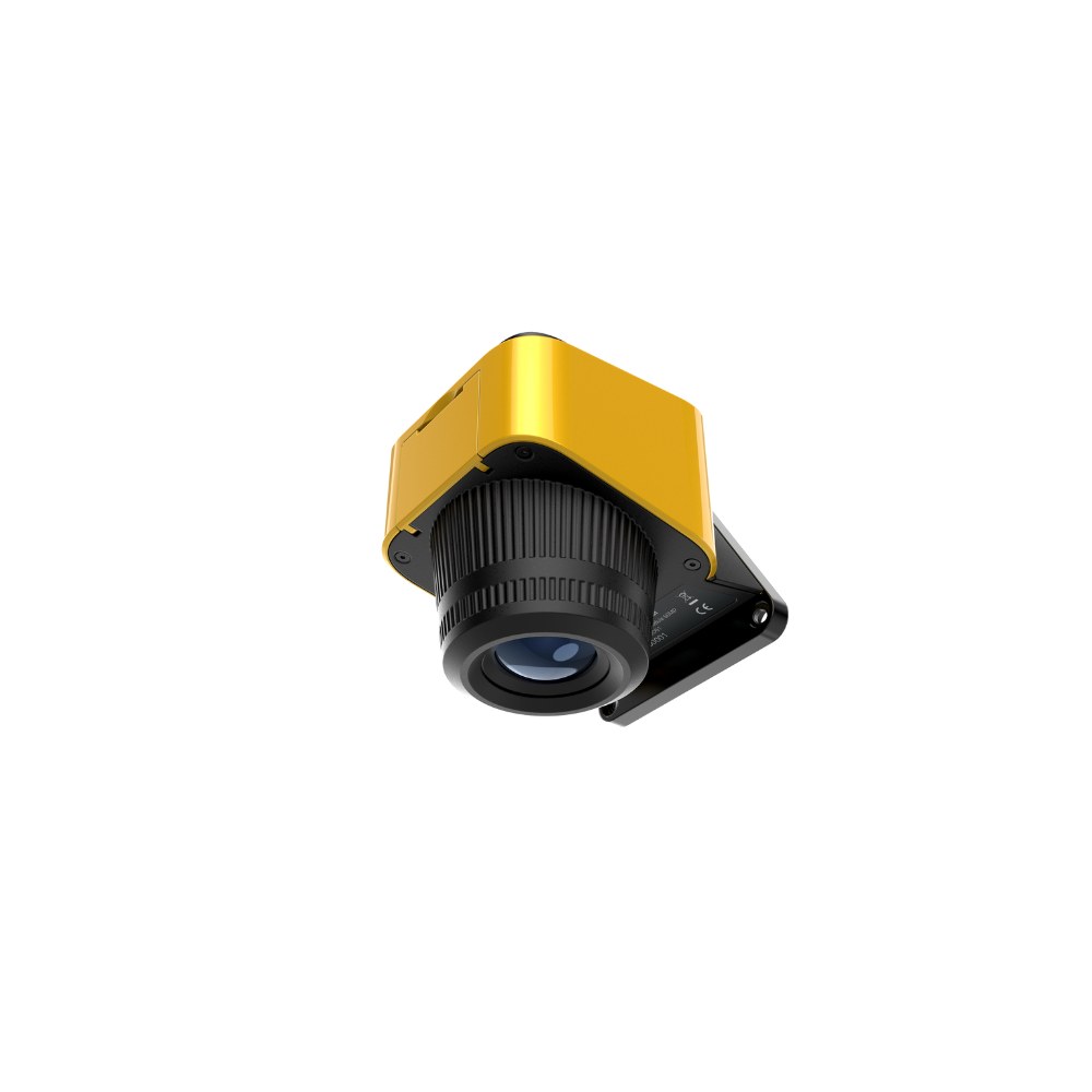
26MP Camera Module
Simple camera module with a 26MP APS-C sensor and 16mm optics providing a 72.85° field of view. Weighs 180 grams.
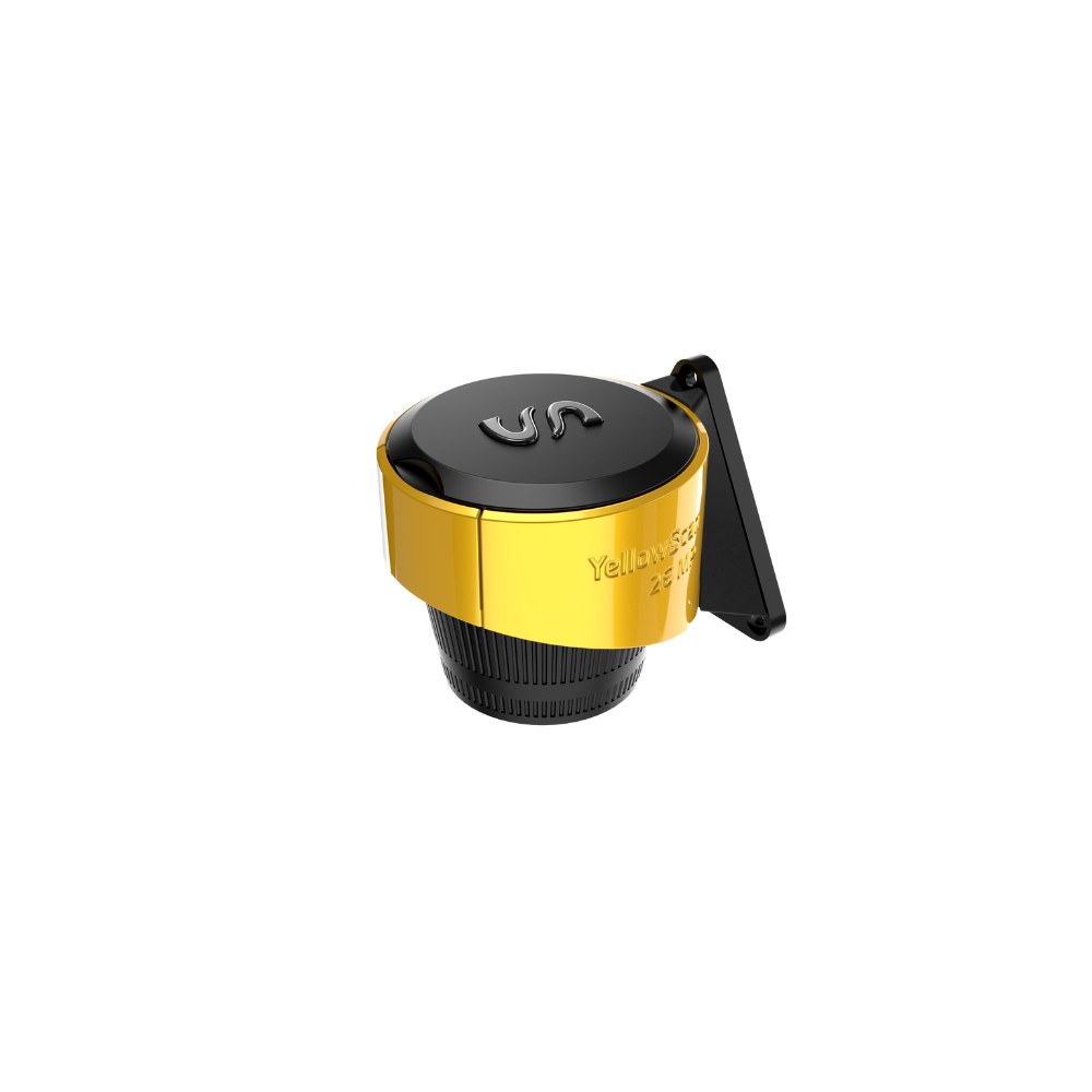
61MP Camera Module
Simple camera module with Sony full-frame CMOS sensor at 60.8MP and 18mm optics providing a 90° field of view. This camera module weighs 235 grams.
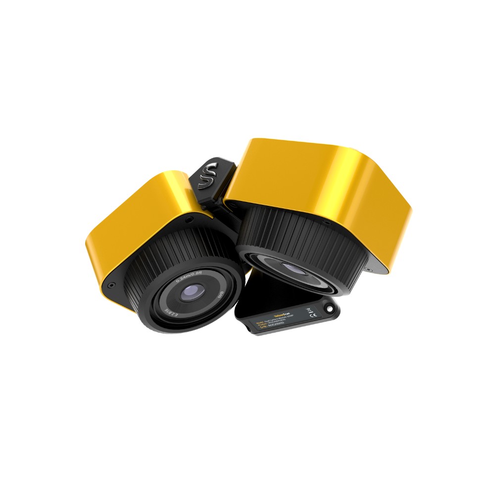
26MP Dual Camera Module
This camera module has dual cameras with APS-C sensors of 26MP and 16mm optics, which together cover a field of view of approximately 125°. The module weighs 575 grams.

Software
When processing data from YellowScan's LiDAR systems and camera modules, you basically use two different software programs: PPK software and CloudStation.
PPK software - POSPac or Qinertia
All YellowScan systems use PPK to achieve maximum data accuracy. When generating data, you therefore first use PPK software to recalculate the LIDAR trajectory and geotag the images.
You do this with the software from the manufacturers of the INS modules in the respective systems. Depending on which scanner you have, this is either Applanix POSPac or SBG Qinertia.
Both of these software programs can be run standalone with their own GUI or in an integrated workflow in CloudStation. The integrated workflow is fast and user-friendly, while the standalone software programs can provide a few more tools to work with.
LiDAR software - CloudStation
Once the post-processing (PPK) is done, you can generate point clouds and other products. You do this in CloudStation. Here you can choose between three different versions, depending on the functionality you want.
Annual or Perpetual licenses
In all software, you can choose whether you want to run on rolling annual licenses (Annual) or perpetual licenses (Perpetual).
Do you have any questions?
If you would like to learn more about any of the YellowScan systems or receive assistance in selecting a system that suits your needs, we would be pleased to assist you. Please contact us and we will take it from there.