
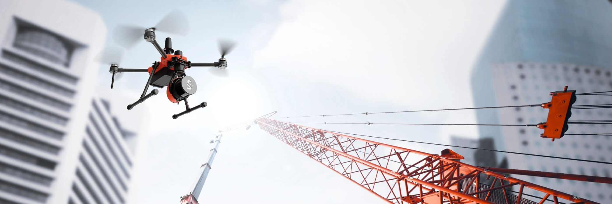
The world's first C2-class drone with LiDAR
Did you know that there is a C2-rated drone that allows you to collect accurate and detailed LiDAR data in the open category A2?
It's called Argosdyne EasyMapper, and we've tested it!
The background story
For a couple of years now, when we and other YellowScan distributors have talked about the drone market, it has repeatedly been mentioned that one of the biggest obstacles to using LiDAR is that, in practice, you have to fly in a specific category when using drone systems that are large enough to carry a LiDAR.
This is, of course, quite a high threshold to overcome, as many lack the knowledge, experience, or resources required to obtain a permit to fly in a specific category.
But what if there was an alternative that allowed you to fly in open category A2? Then it would suddenly become much easier to fly. You wouldn't need to build an extensive manual, go through expensive and lengthy permit applications, and there would be no need for ongoing administration of your permits and flights. Life would simply become much easier.
This was something that YellowScan saw great potential in, and when they met Argosdyne, it was a perfect match. They had a well-proven drone model in Aquila 2, which could be C2-classified and at the same time be powerful enough to carry two of YellowScan's OEM systems, Mapper+ OEM and Surveyor Ultra OEM.
The road to C2 class
Once YellowScan and Argosdyne found each other, they quickly got to work. The LiDAR systems were integrated, and we as distributors also had the opportunity to test the solution at an early stage. There was no doubt that this was a solution with great potential.
Everyone agreed—this had to be done!
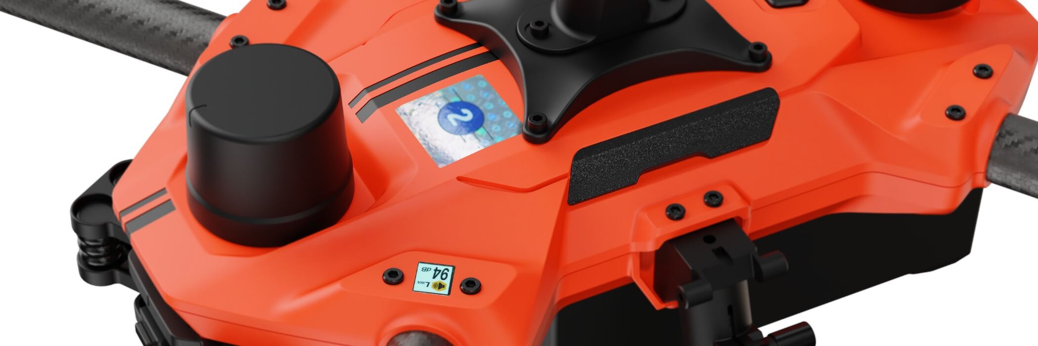
No sooner said than done, Argosdyne began the process of getting Aquila 2 C2-certified together with both YellowScan systems, and earlier this year they received their C2 certification and can now claim to be the first C2-certified drone in the world capable of carrying LiDAR.
Not just any LiDAR
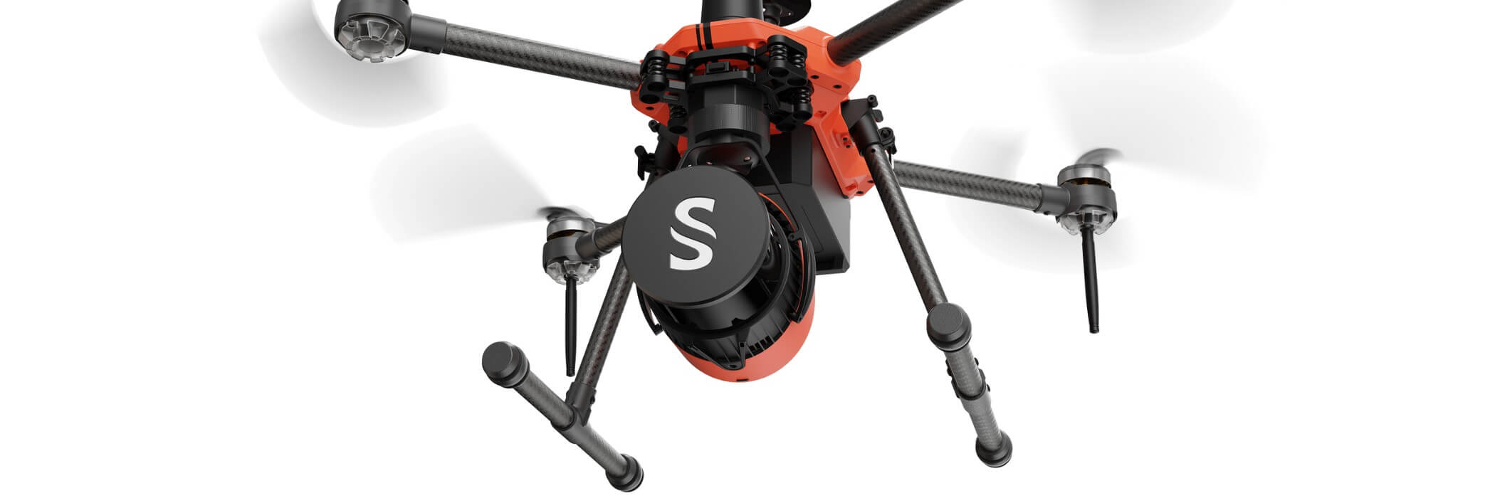
It's one thing to say that you can carry a LiDAR, but this isn't just any LiDAR—it's a really good LiDAR from YellowScan.
On EasyMapper, you can choose between two options: LM, which is based on Mapper+, or LS, which is based on Surveyor Ultra.
Both deliver high precision and accuracy, and the data you get after processing it in YellowScan CloudStation is incredibly fine. Both systems have integrated cameras for coloring the point clouds, and you can also produce orthophotos from the images.
Regardless of the model you choose, you will get very good data from EasyMapper, and now you can reach down to the ground to create terrain models that you could only dream of before, if you are used to photogrammetry.
Do you have questions and want to know more?
Contact us today to get a quote or more information about the world's first C2-class drone with LiDAR, Argosdyne EasyMapper.