

Argosdyne EasyMapper LS
Contact us for a quote
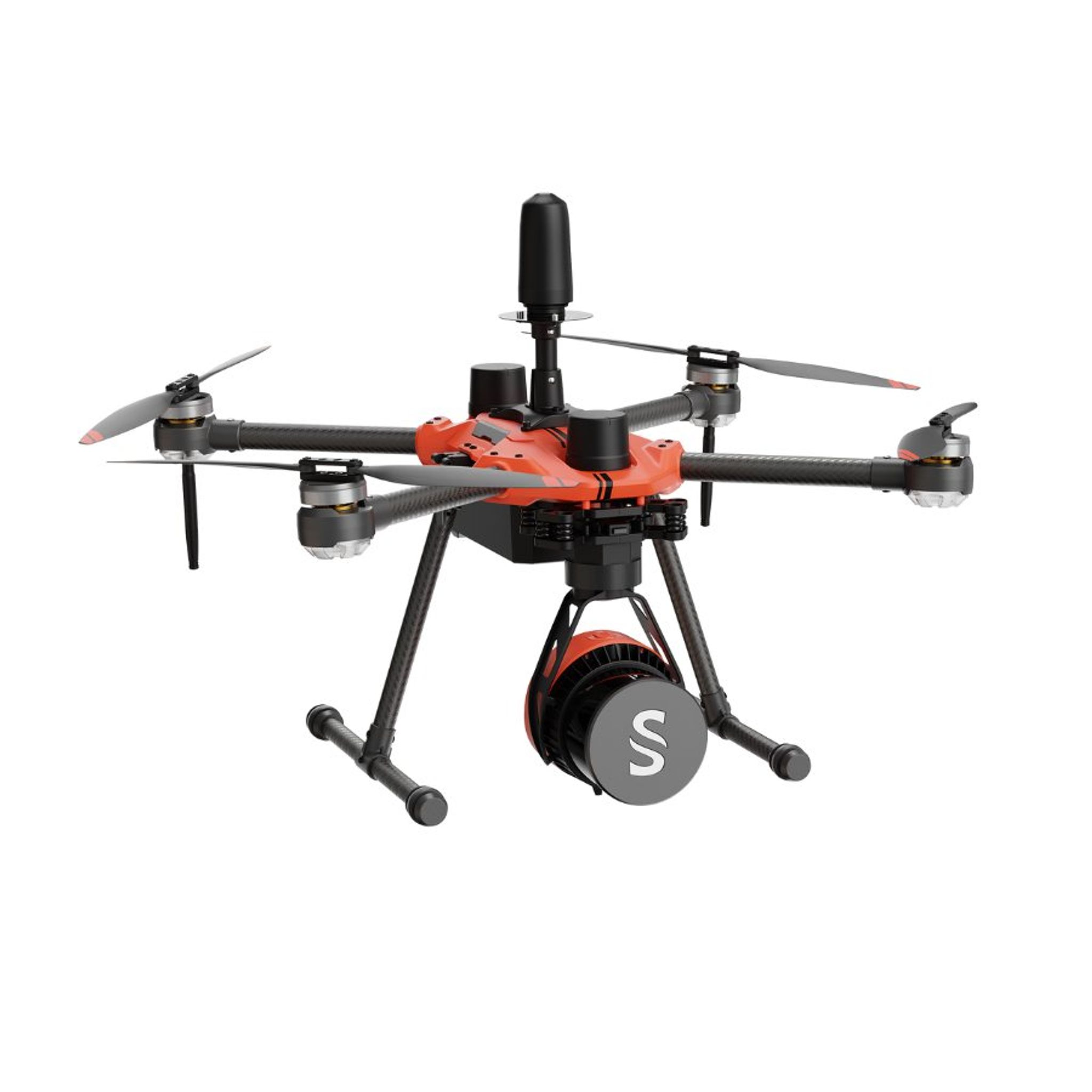
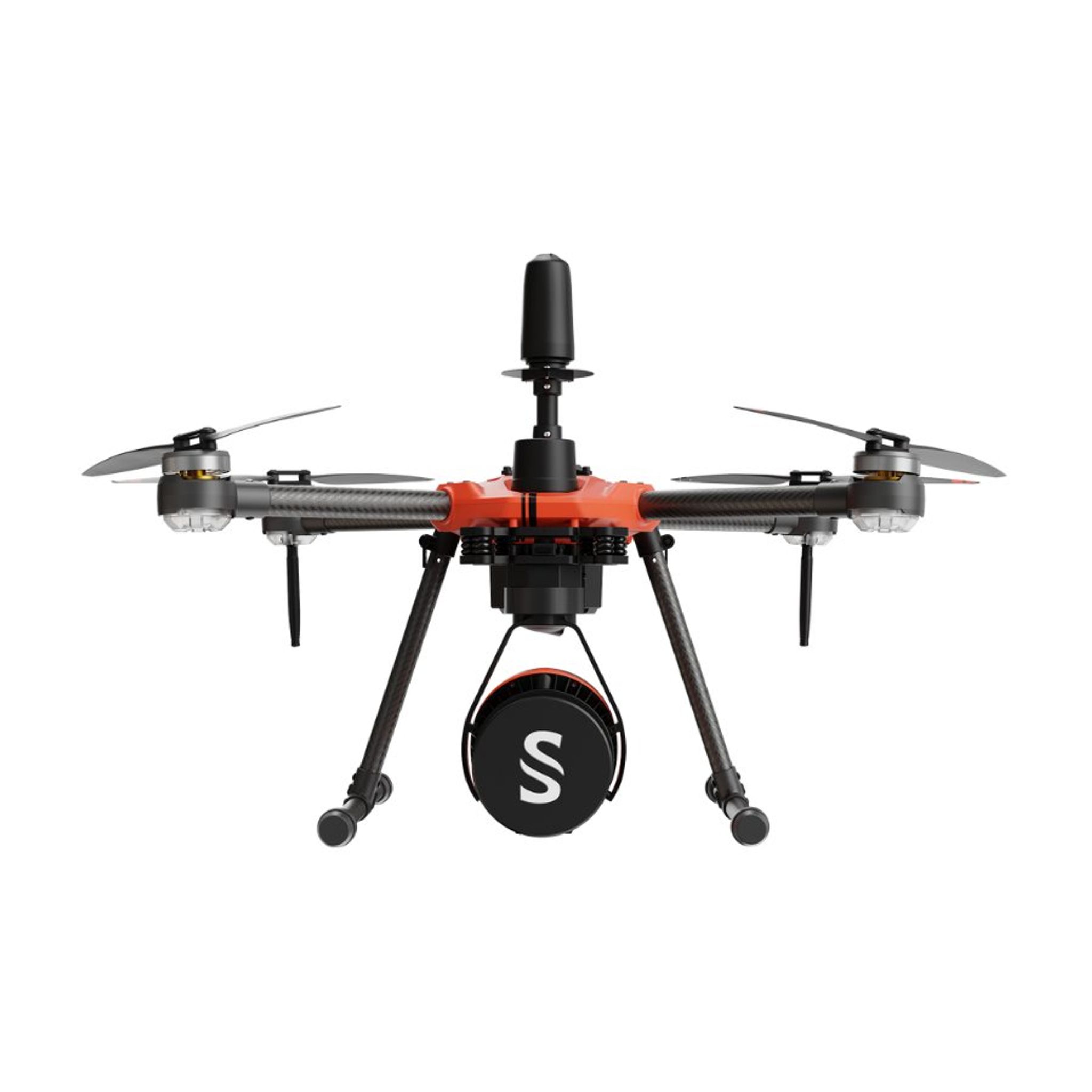
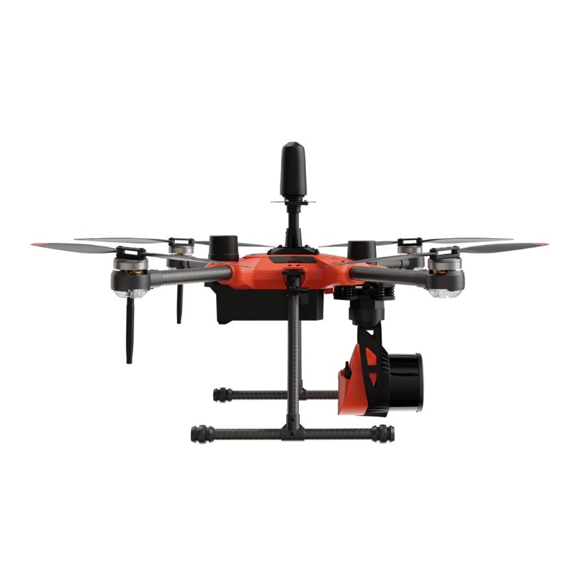
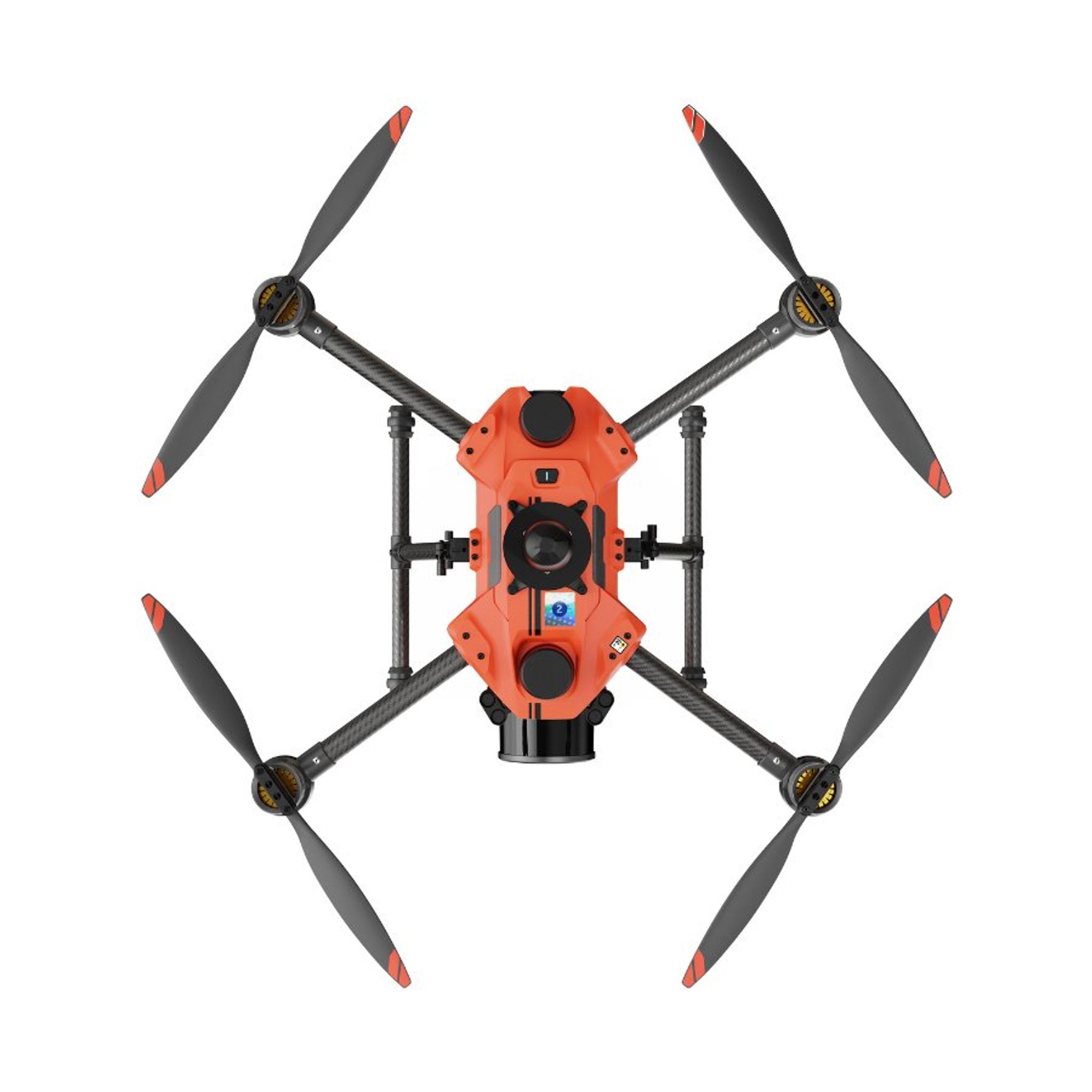
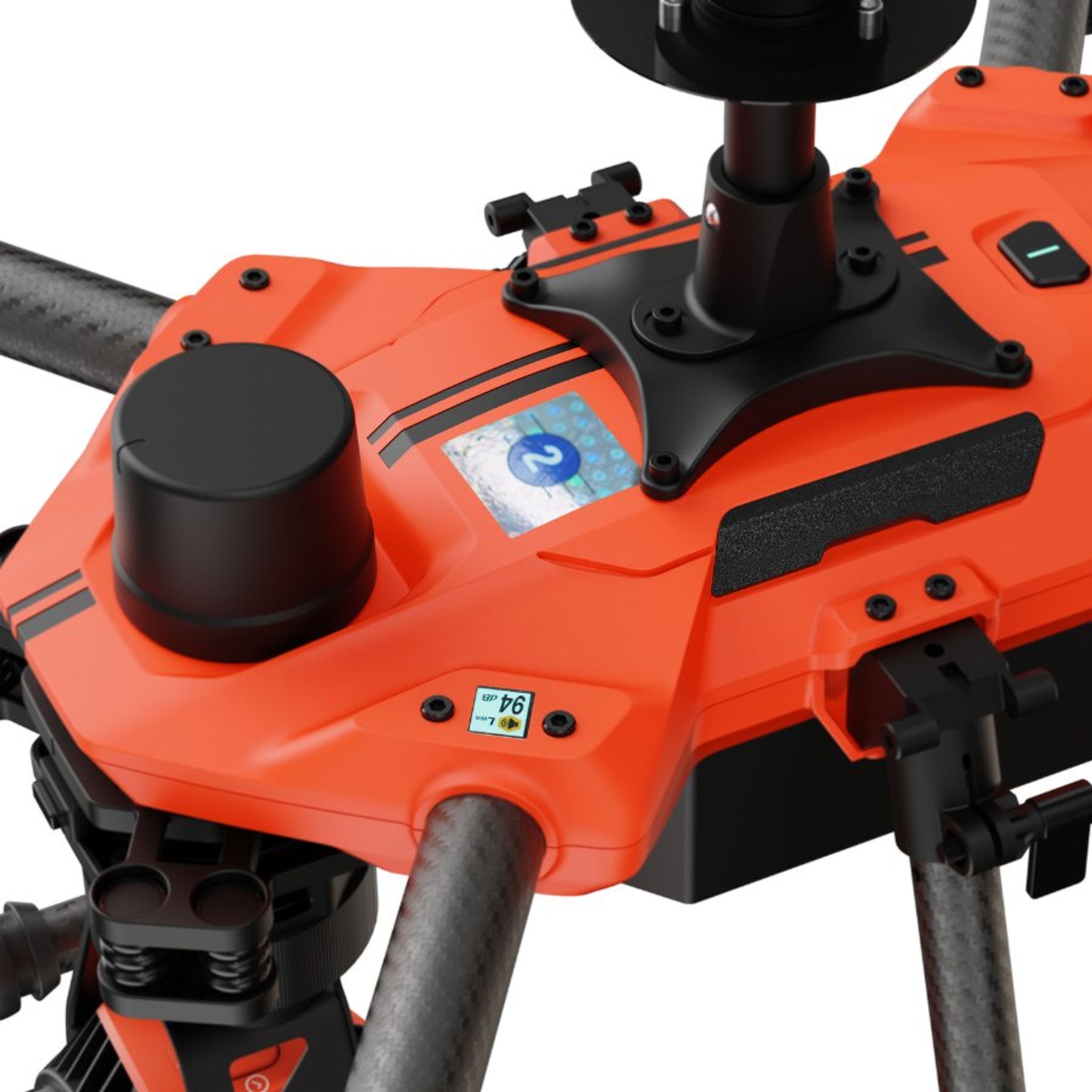
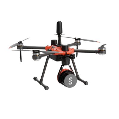
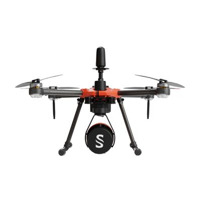
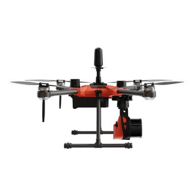
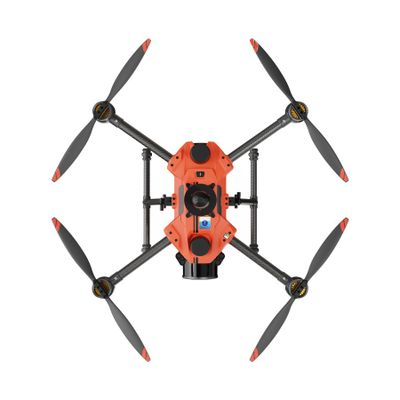
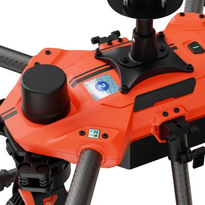
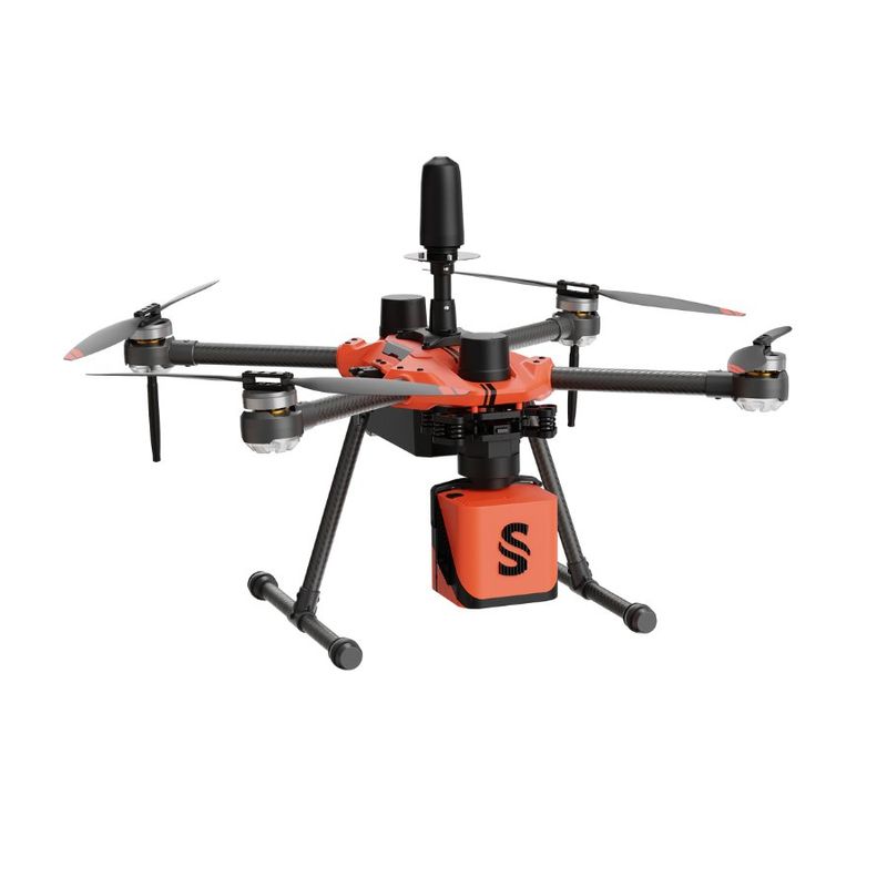
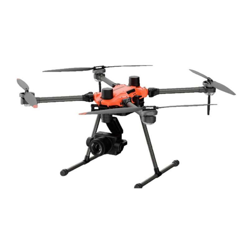
The Argosdyne EasyMapper LS is a C2-rated drone equipped with YellowScan's Surveyor Ultra OEM LiDAR. It allows you to collect LiDAR data in open category A2.
Read more
Recommended accessories
€ 2 720,9
/ Piece
Similar products
Description of Argosdyne EasyMapper LS
EasyMapper is a C2-rated drone equipped with YellowScan's Surveyor Ultra OEM LiDAR. It allows you to collect LiDAR data in open category A2.
Drone specifications
| Manufacturer | Argosdyne |
| Model | Aquila 2 |
| EASA C class | C2 |
| Country of origin | South Korea 🇰🇷 |
| Dimensions | 495 x 455 x 286 mm |
| We | 3.7 kg (including LiDAR) |
| Flight time | Up to 45 min |
LiDAR system specifications
| Manufacturer | YellowScan |
| Model | Surveyor Ultra OEM |
| Scanner | Hesai XT32M2X |
| Field of view | 360° × 40.3° |
| Pulse rate | 640.000 |
| Number of returns | 3x |
| Accuracy | 3cm |
| Accuracy | 2.5cm |
| Built-in camera | Yes (8MP) |