



Pix4Dcatch Professional
Pix4Dcatch is an application used to scan your surroundings and objects with your mobile phone. With the Professional license, you get full access to advanced features in the Pix4Dcatch app.
Read more
Recommended accessories



Description of Pix4Dcatch Professional
Pix4Dcatch is an application used to scan your surroundings and objects with your mobile phone. With the Professional license, you get full access to advanced features in the Pix4Dcatch app. Among other things, you can use external GNSS receivers and connect them to RTK, visualize point clouds and geometries with AR, etc.
These are the strengths of Pix4Dcatch Professional
1. Scan and document ditches
If you work with water, sewage, cables, and fiber optics that are located underground, Pix4Dcatch Professional is an excellent solution for documenting the work you have done. Together with a GNSS receiver with RTK, you get complete and accurate documentation of your work before the ditches are filled in again.
2. Supplement drone data with ground scanning
Drone data often lacks valuable information on facades, for example, or has too low a resolution to capture all the details. With Pix4Dcatch, you can easily supplement and capture all the important material.
3. Visualize point clouds, measurement points, or geometries with AR
If you have projects stored in Pix4Dcloud and want to visualize them in reality, you can do so in the app with AR overlay. This allows you to see point clouds that you have scanned previously to find a pipeline, valve, cable, or other objects that are buried underground. You can also see individual points to find your way back to a point or polylines created to document where a pipeline or cable is buried.
4. Visualize IFC models with AR
If you have an IFC model of a house or structure in Pix4Dcloud, you can also visualize it with AR in Pix4Dcatch. This allows you to see that the placement is as desired and that the foundation work has been done correctly in relation to the model.
It can also allow a future homeowner to step inside their house and imagine the view from the living room.
5. Measure volumes directly in the app
With Pix4Dcatch, you can scan a pile of earth or a ditch and measure excavation and fill volumes directly in the app. These can also be exported.
How to use Pix4Dcatch Professional
1. Preparation
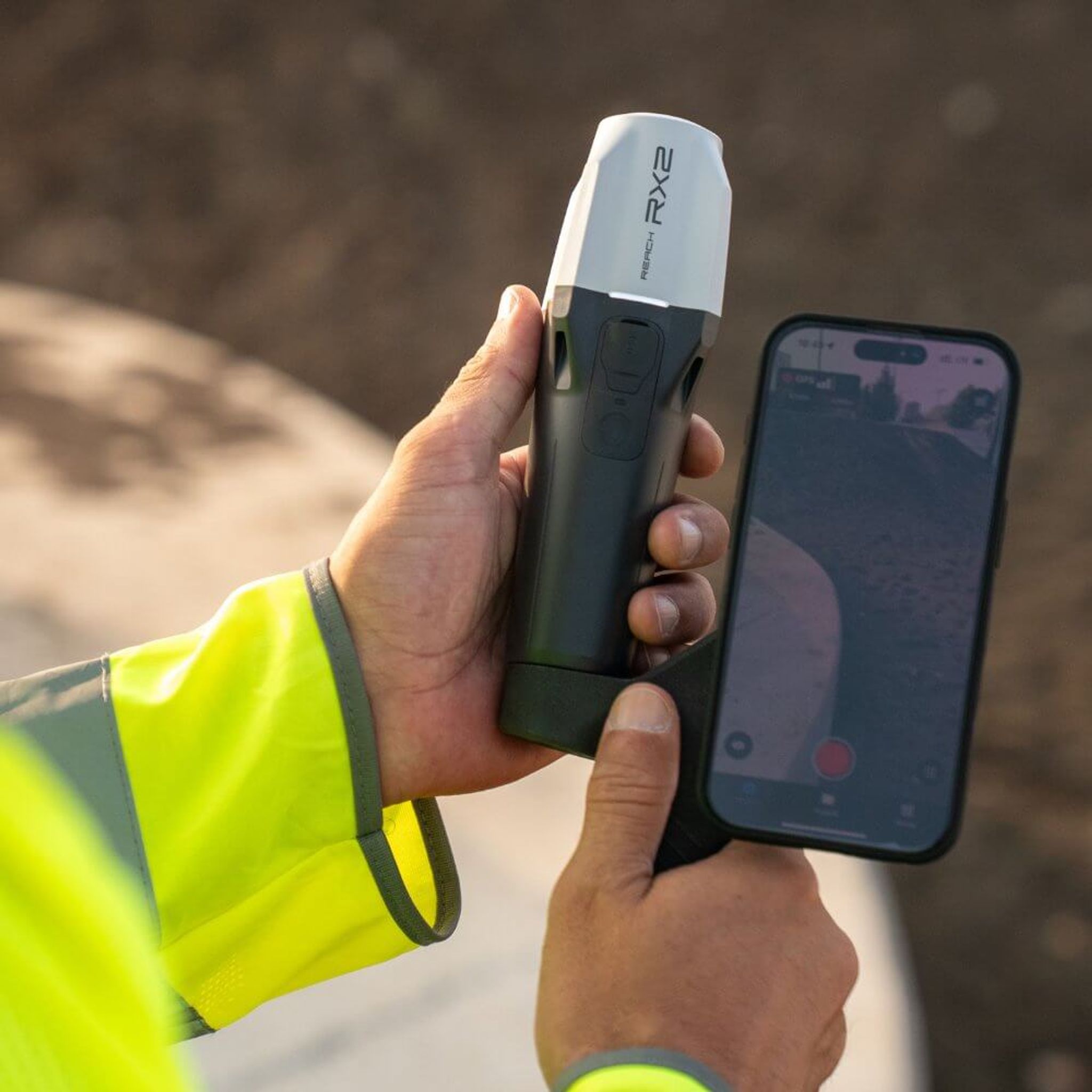
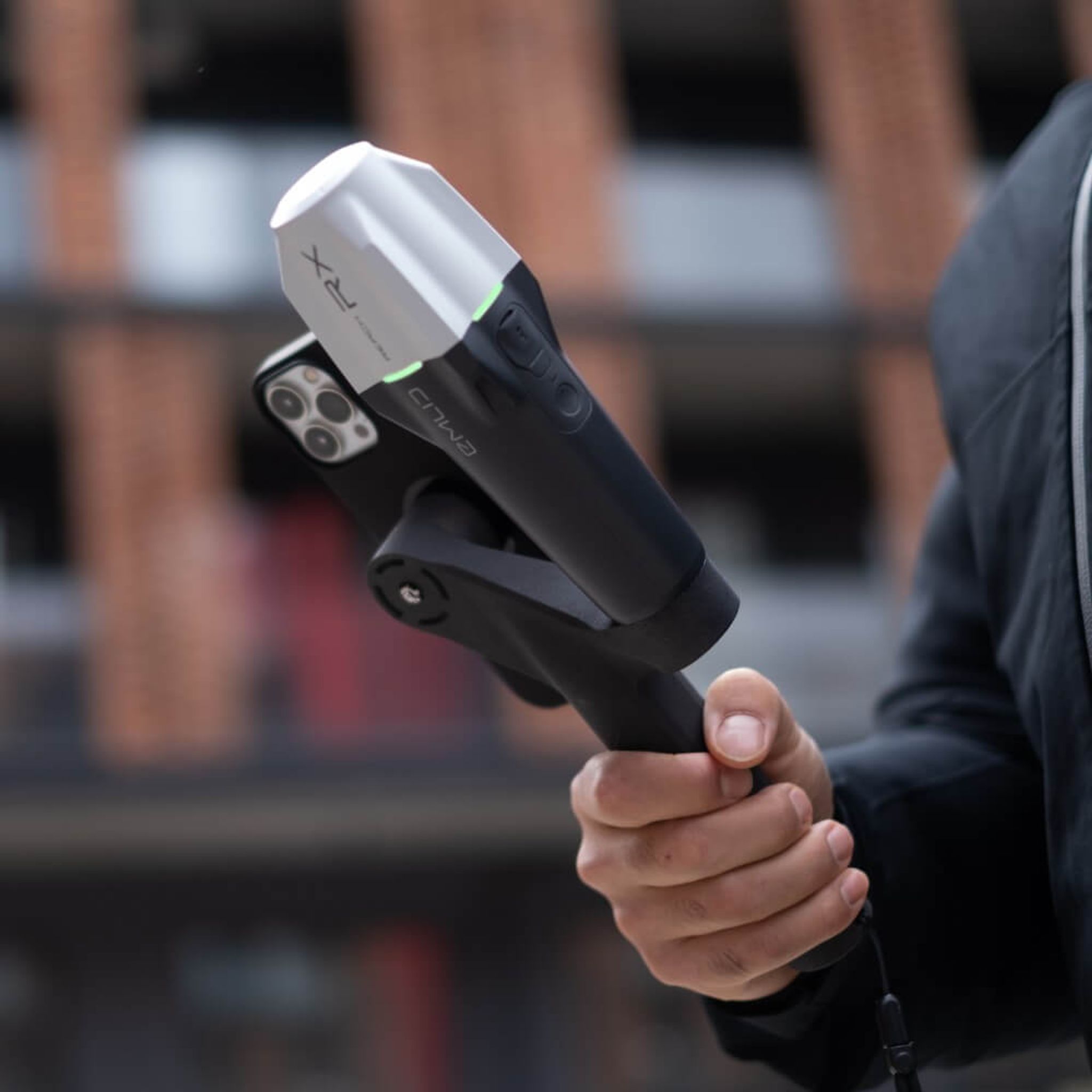
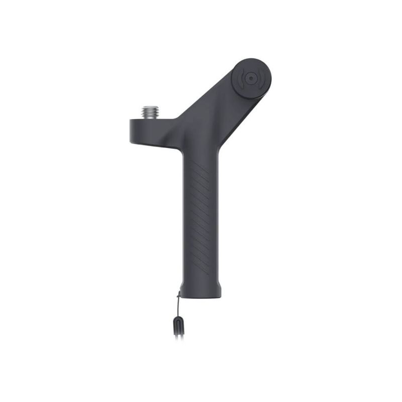
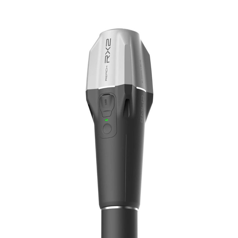
The app is easy to use. To get the most out of it, connect your phone to a compatible GNSS RTK receiver, such as Emlid Reach RX or RX2. With the Emlid handle, all offsets from the antenna are adjusted automatically.
Once connected, enter your NTRIP details and as soon as you receive RTK FIX, you can start scanning with high accuracy.
3. Scanning
During scanning, you can see the point cloud being built up, where you have scanned, your GNSS status, etc. You can pause the scan at any time if something gets in the way or needs to be moved, and then resume it again.
4. Data processing
Once scanning is complete, save the project and either upload it to Pix4Dcloud or export it to process the data in other software. Pix4Dmatic is recommended as it has its own profile for catch data and also supports the use of LiDAR data from the iPhone.