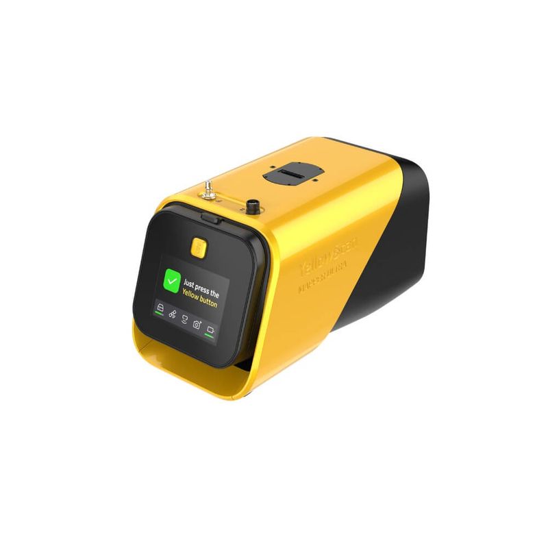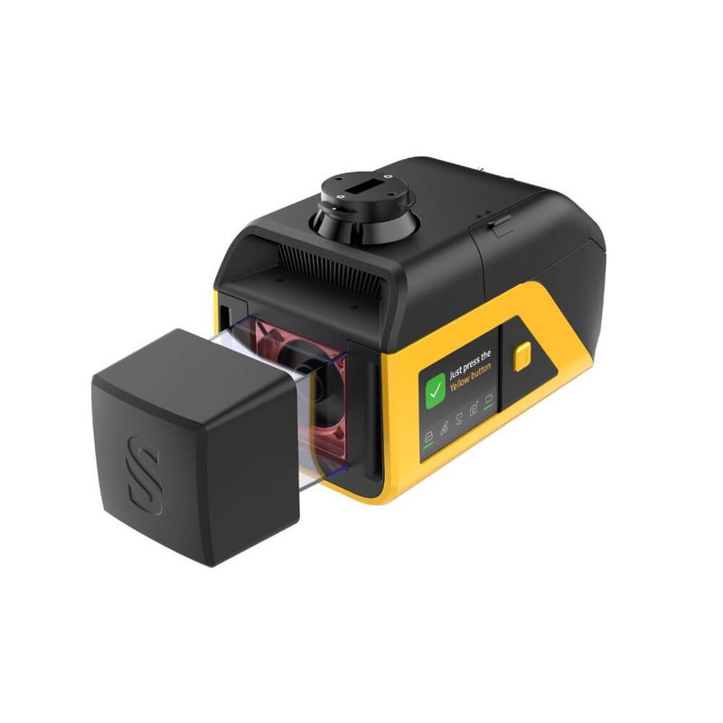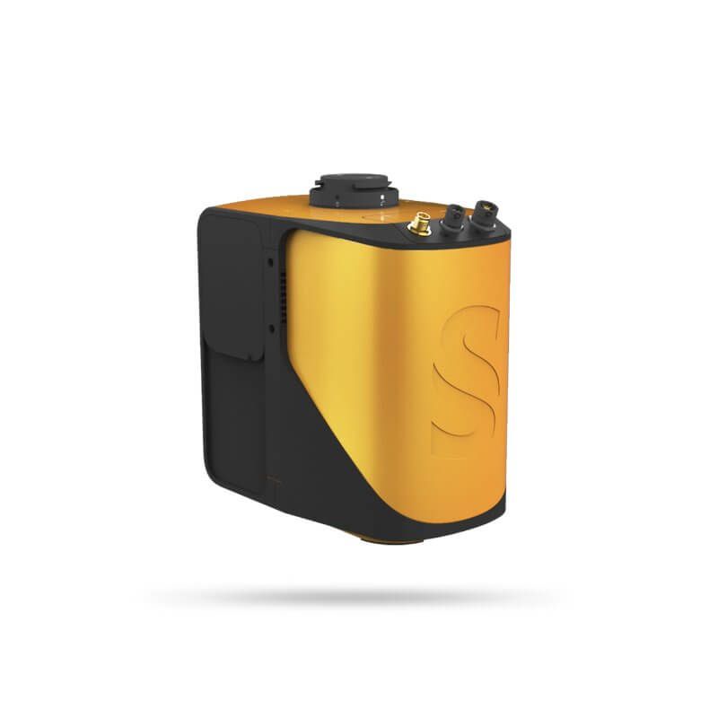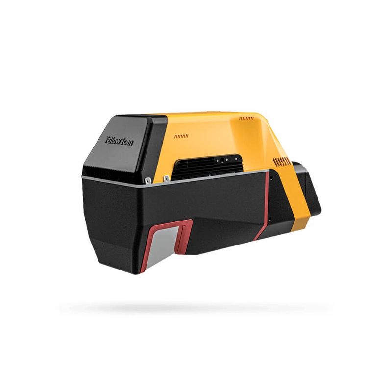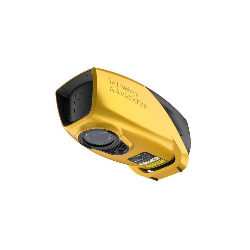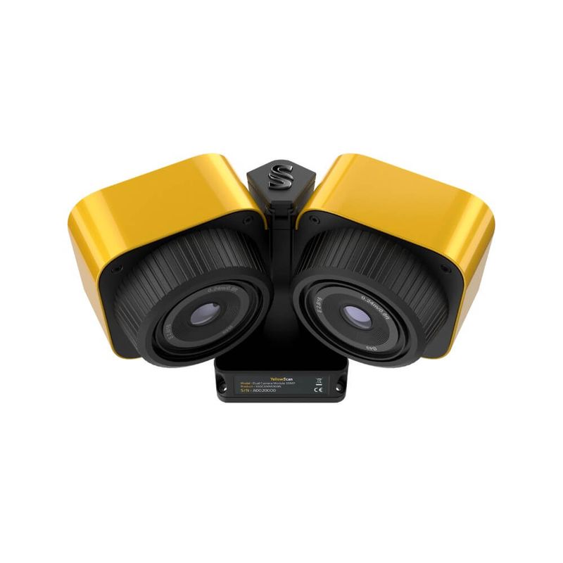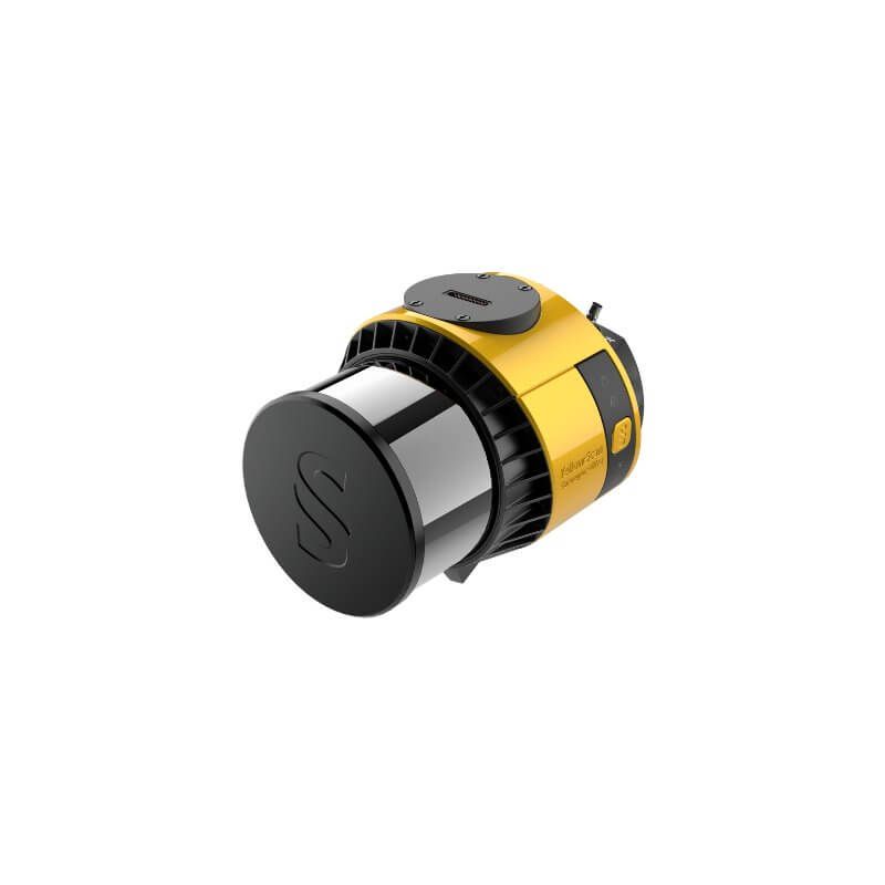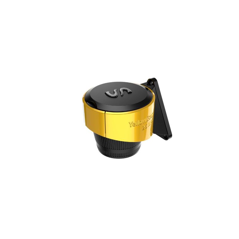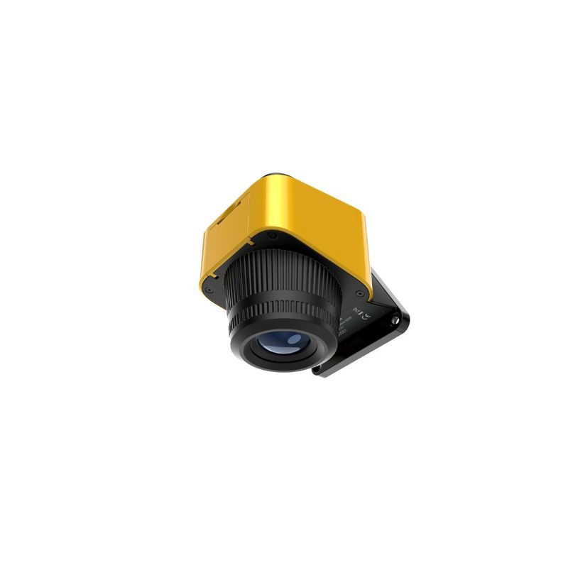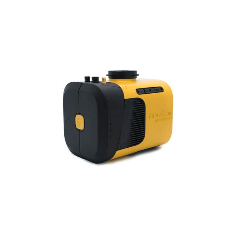
YellowScan develops advanced LiDAR solutions for professional geospatial data collection, with systems optimized for both topographic and bathymetric missions. Their integrated LiDAR packages combine high measurement accuracy, smart INS technology, and well-designed workflows that make it easy to go from flight to finished dataset.
With proprietary software such as CloudStation, users get a complete and intuitive tool for data processing, quality control, and export—without unnecessary steps or complexity. YellowScan is also appreciated for its exceptional customer support, where customers truly have a professional team behind them.
The result is reliable LiDAR solutions used by mapping companies, engineers, authorities, and research organizations around the world.