

YellowScan Mapper Ultra
Contact us for a quote
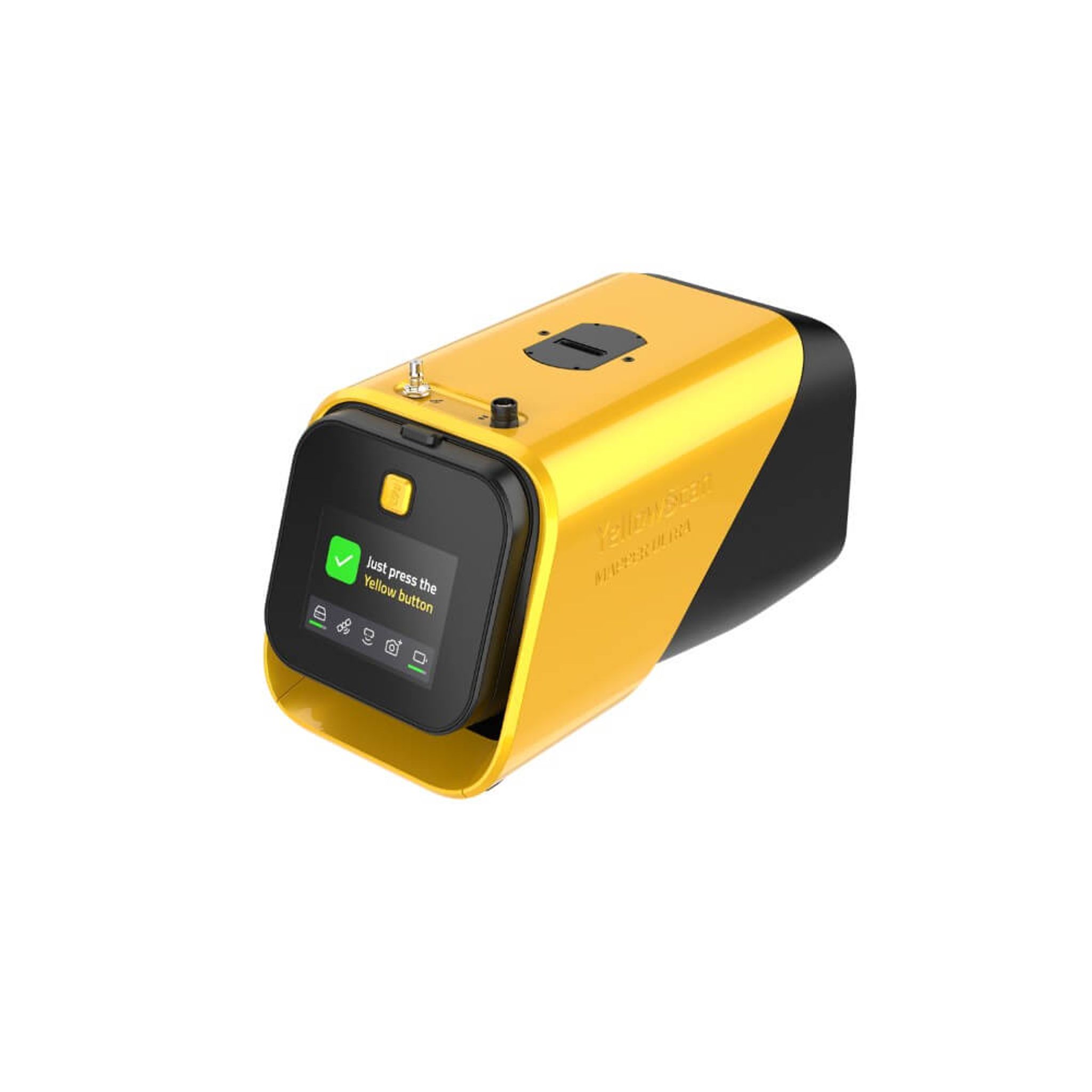
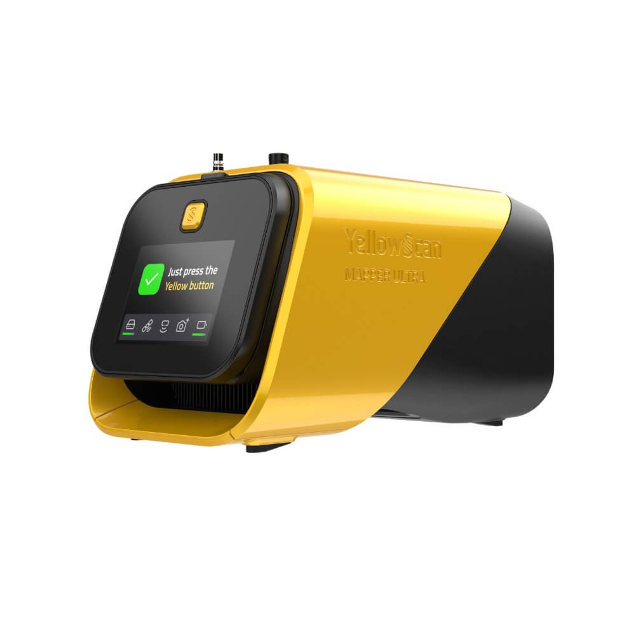
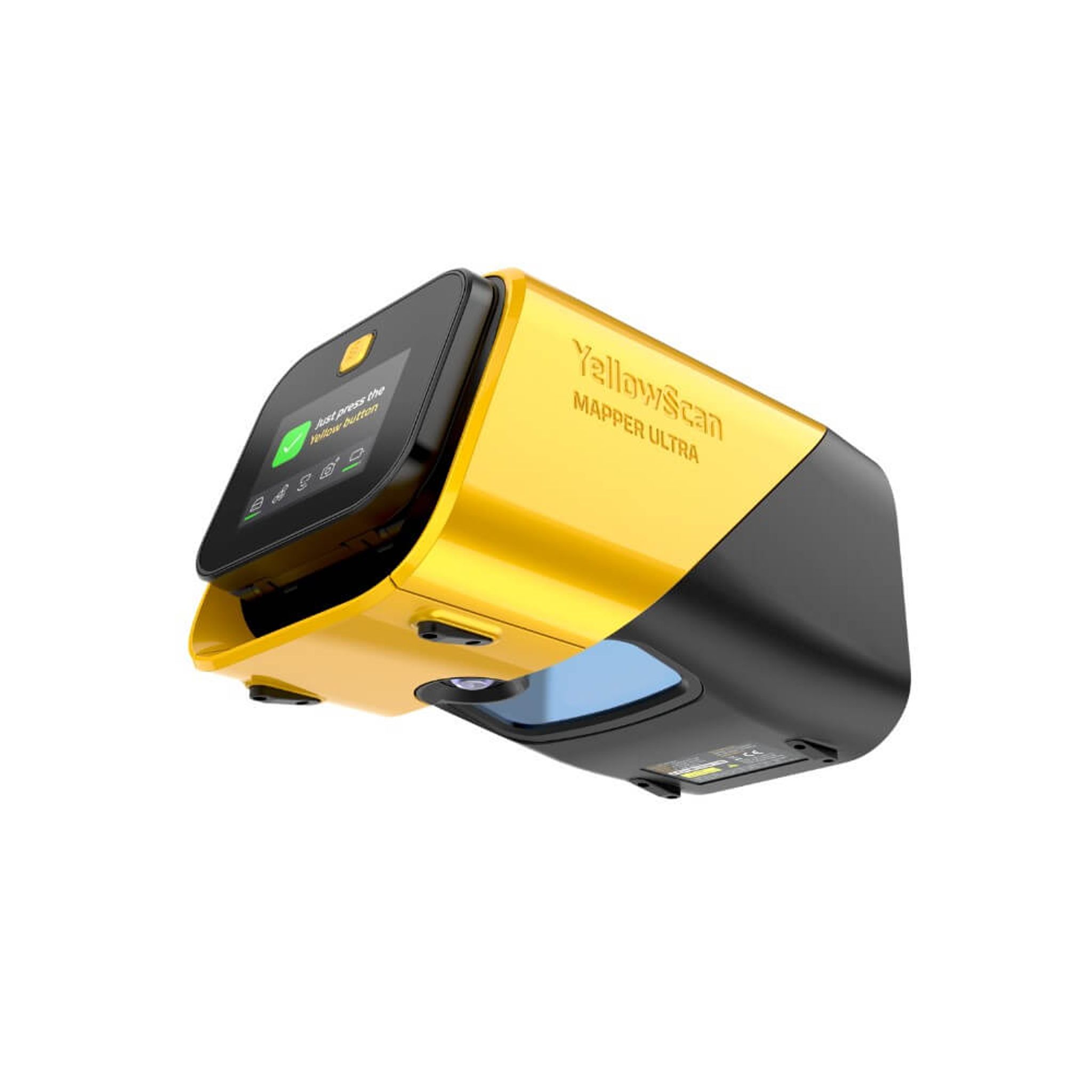
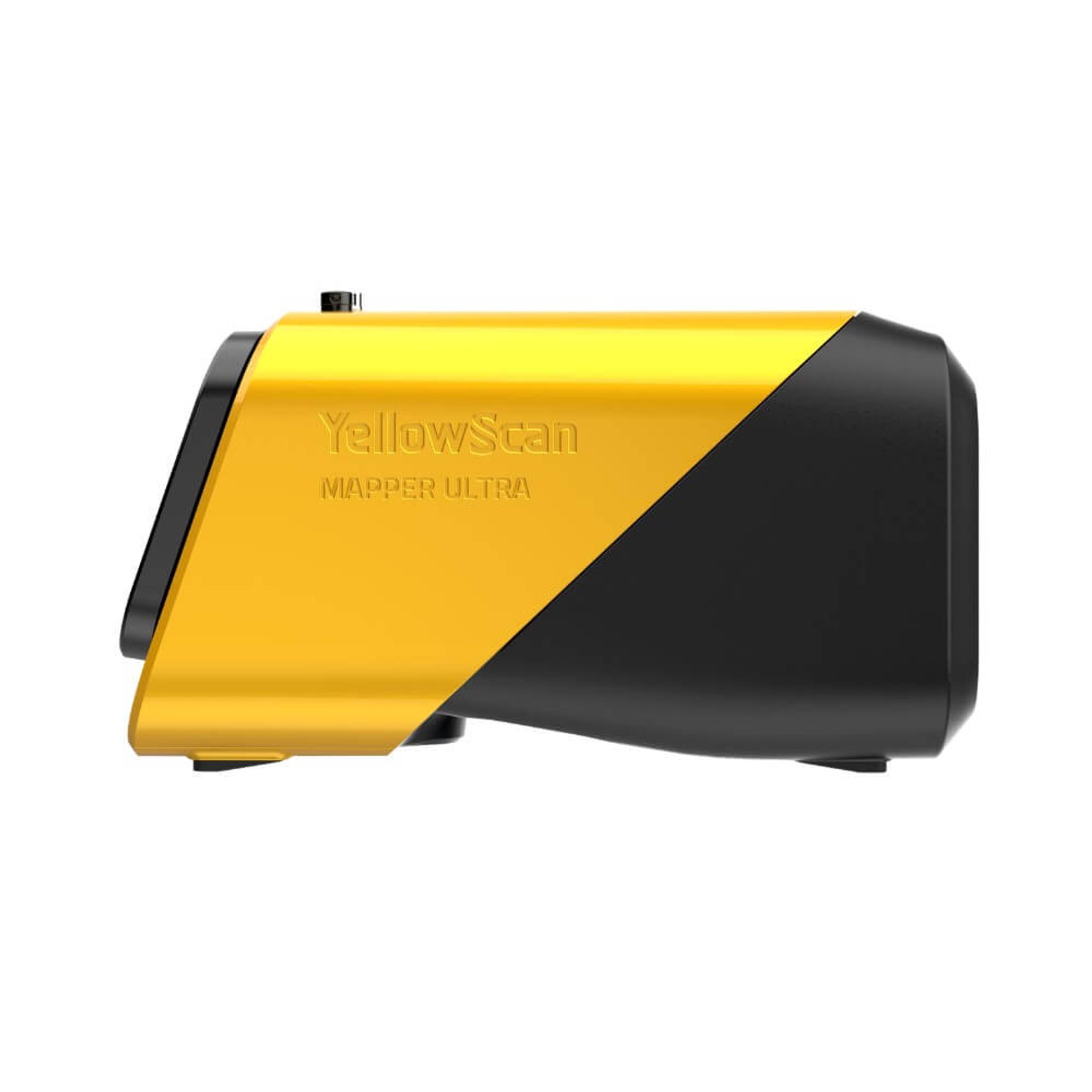
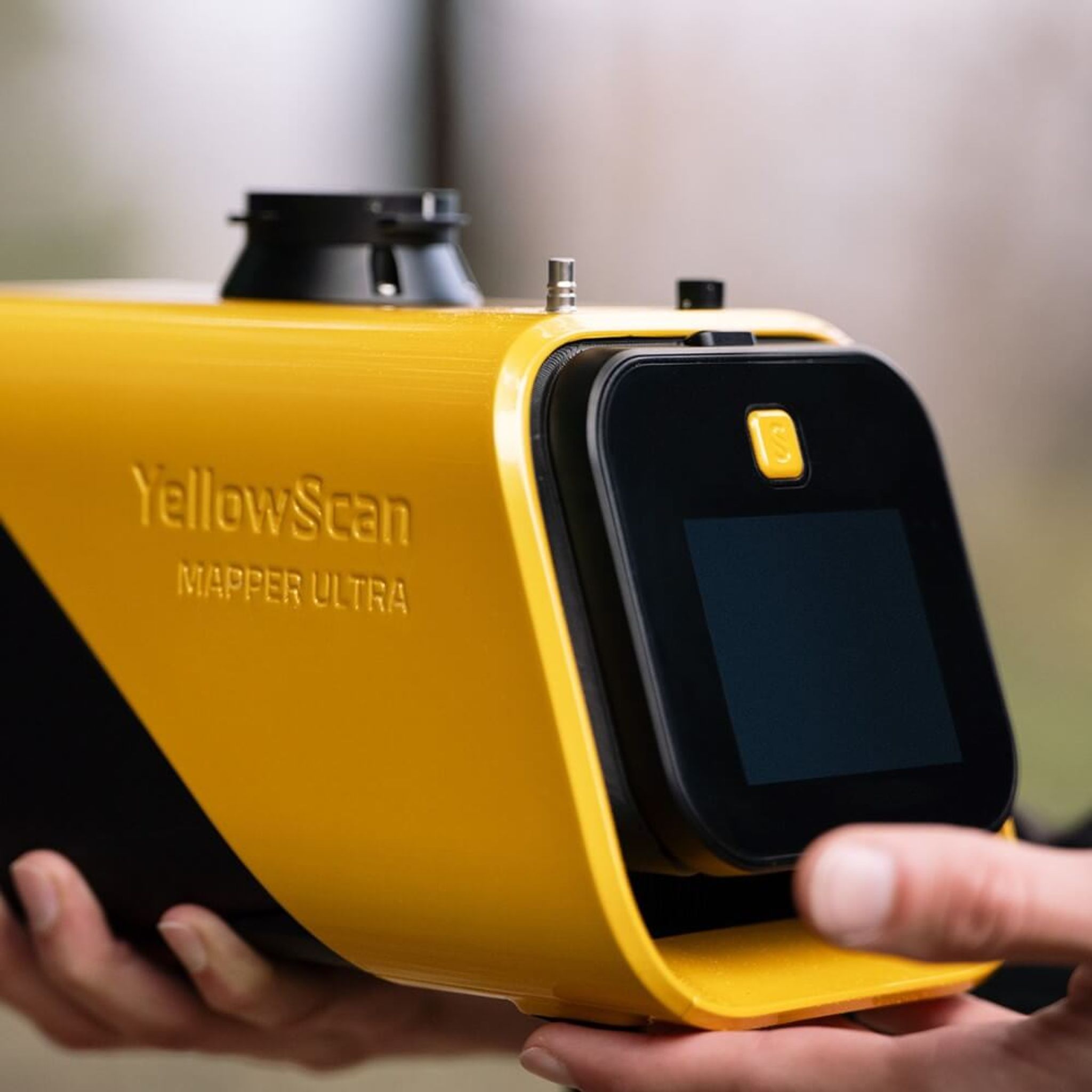
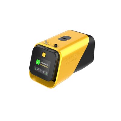
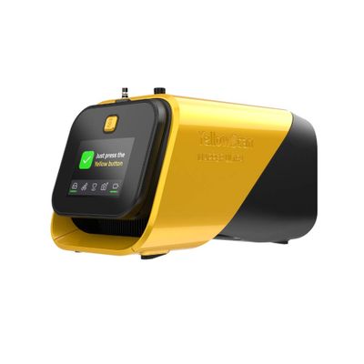
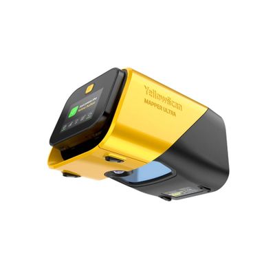
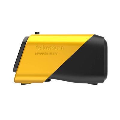
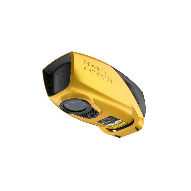
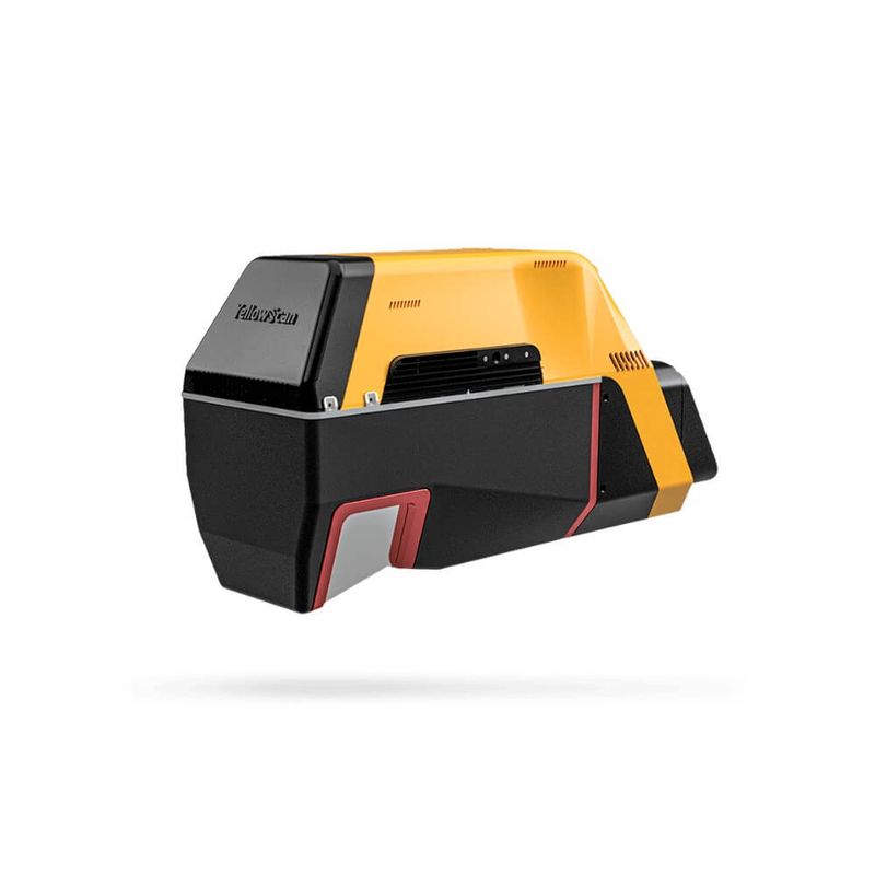
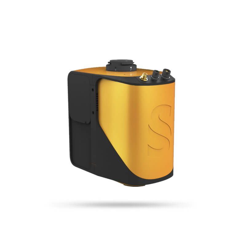
The YellowScan Mapper Ultra is the latest generation in the Mapper series and represents a breakthrough in professional UAV-based LiDAR mapping.
With up to 7 true echoes, 500,000 pulses per second, and a range of up to 640 m, it is one of the market’s most capable systems for large-scale missions—including BVLOS operations.
See it live in Stockholm – June 23
Read more
Recommended accessories

Similar products
Description of YellowScan Mapper Ultra
Key Features
7 true echoes – see through vegetation
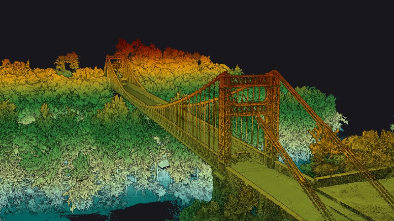
The new scanner captures up to 7 true echoes per laser pulse. This means the system can penetrate dense tree canopies and capture the ground surface beneath the vegetation—a crucial advantage for forestry, archaeology, and terrain mapping. Combined with high point density, detailed point clouds are delivered even in challenging environments.
BVLOS-ready without an external battery
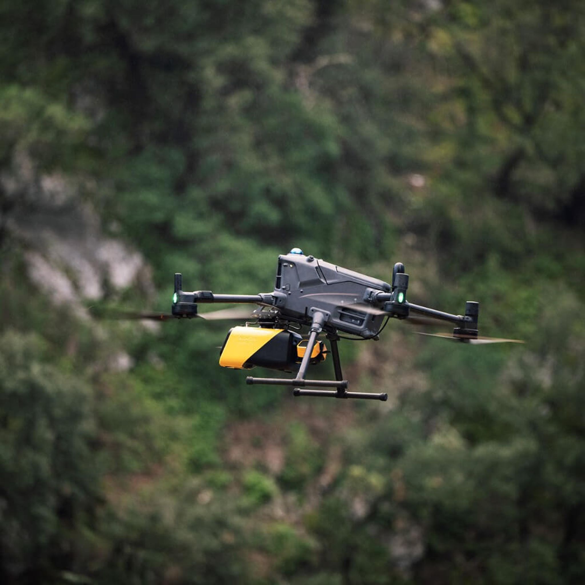
Mapper Ultra can be powered directly from the drone via dedicated adapters, eliminating the need for a separate battery. This makes the system ideal for long-range missions with hybrid drones, hydrogen-powered drones, or long-endurance fixed-wing systems.
High productivity – 500,000 pulses/sec
With a 75° field of view and up to 500,000 laser pulses per second, the system covers large areas with high point density. A recommended maximum flight altitude of 240 m enables highly efficient mapping of corridors and large-scale projects without compromising accuracy.
Secure and expanded data storage with CFexpress
Mapper Ultra stores data on CFexpress cards, which provide significantly expanded storage capacity—essential for long BVLOS missions and large-scale projects. Additionally, your data remains securely on the CFexpress card, and nothing is shared with third parties, neither on the scanner nor on the PC when you process the data.
Drone-agnostic
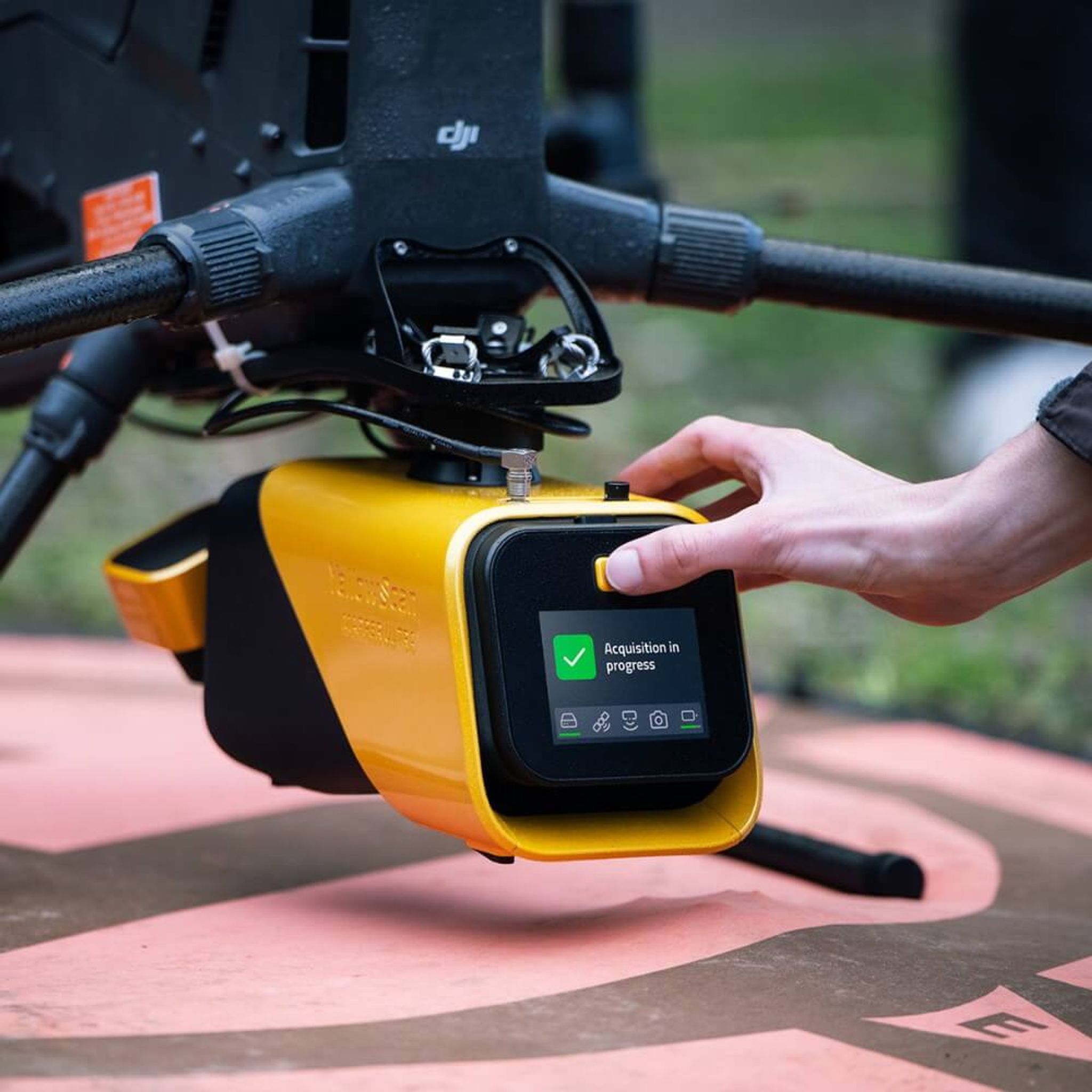
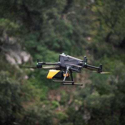
The system is compatible with all drones capable of carrying a 2.2 kg payload, including multicopters, VTOLs, fixed-wing systems, and single-rotor systems. Compatible with various Quick Release adapters such as Gremsy or Dovetail.
Applications
Forestry and land surveying
The 7 echoes enable penetration of dense tree canopies and the delivery of accurate digital terrain models (DTMs) even in dense forests. Typical applications: forest inventory, archaeological excavations, natural environment analysis, and large-scale land-use planning.
Power line and infrastructure inspection
High point density at an altitude of 120 m and a flight speed of 10 m/s provides sufficient resolution for inspecting power lines, pipelines, and other linear infrastructure. Efficient coverage without compromising data quality.
Corridor mapping
Map roads, railways, and linear infrastructure quickly and cost-effectively over long distances—even in hilly terrain with significant elevation changes.
Complex terrain and topographic mapping
Flexible system with reliable performance in hilly, uneven, or varied terrain. Maintains consistent data quality where conventional mapping methods fall short.
Supports YellowScan’s external camera modules
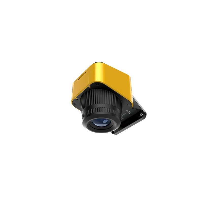
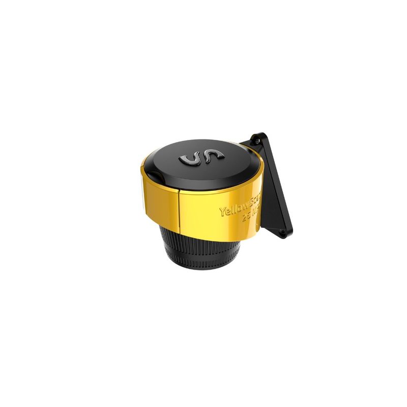
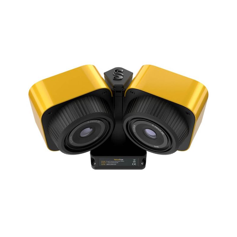
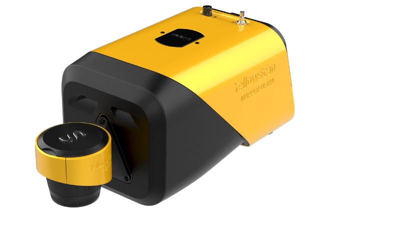
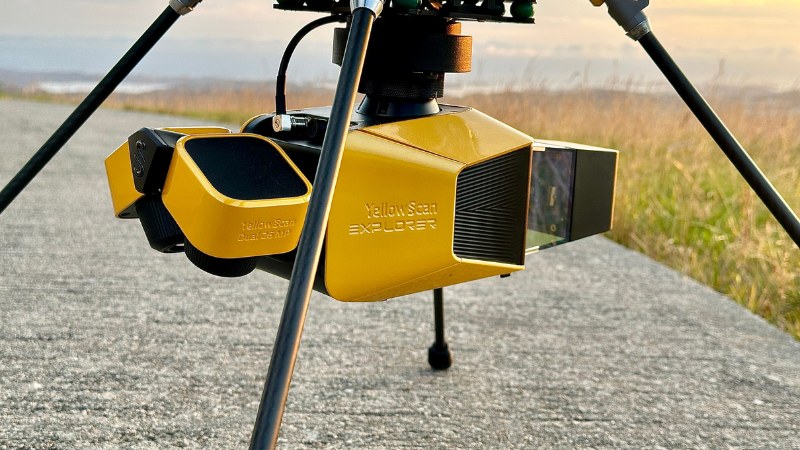
If you need higher-resolution RGB images, you can mount YellowScan’s external camera modules on the Venturer. You can choose between a 26MP single camera, a 26MP dual camera (pictured above), and a 61MP single camera.
Control and overview with YellowTouch
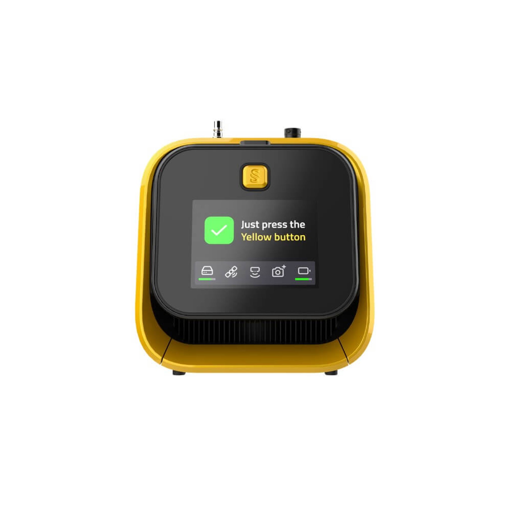
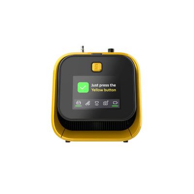
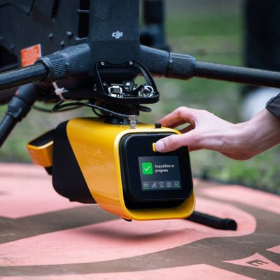
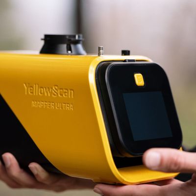
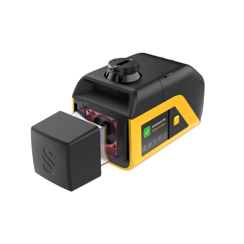
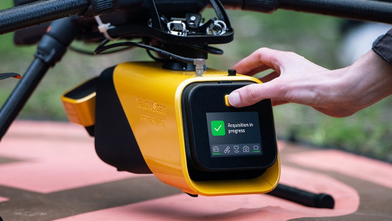
With the bright touchscreen, YellowTouch, you can view the status of subsystems such as the INS, battery, camera, and storage. This ensures you know the scanner’s status and that it is ready for the mission.
Drone-agnostic
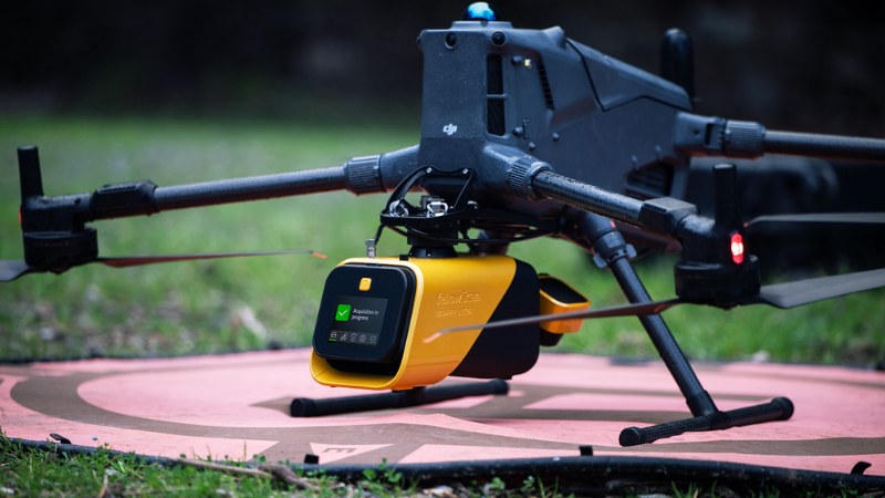
Just like all YellowScan systems, the Mapper Ultra can be carried by a variety of drones, as long as they have sufficient payload capacity. The Mapper Ultra weighs 1.95 kg (without battery) and can easily be carried by popular models such as the DJI Matrice 400 and Hexadrone Tundra 2, as well as many other systems on the market. Various types of quick-release mounts can be attached to the top of the Mapper Ultra, with the Gremsy Hyper Quick Release being one of the most common.
The scanner can be powered by replaceable batteries or directly from drones capable of supplying sufficient voltage and current.
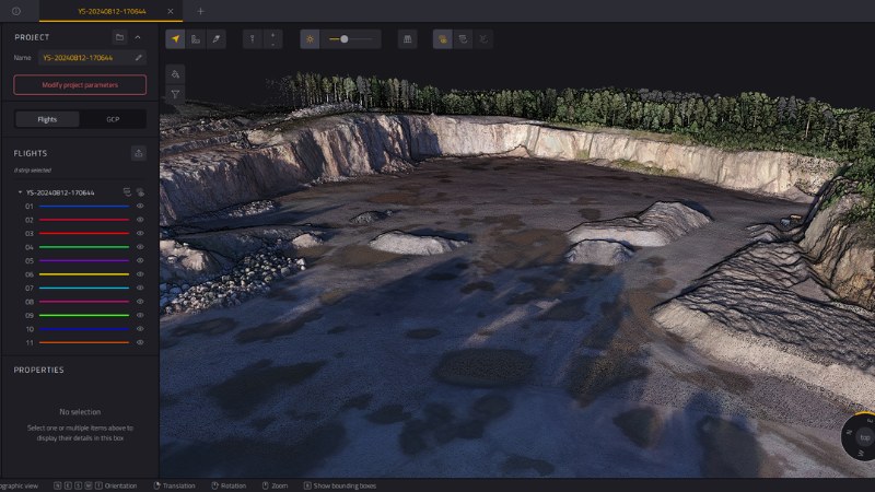
Software – YellowScan CloudStation
Mapper Ultra data is processed into accurate point clouds in YellowScan CloudStation—a complete software package for point cloud processing immediately after flight. Choose between three different versions of CloudStation (Essentials, Pro, or Ultimate), depending on your needs.
With YellowScan CloudStation, you process the data locally on your PC and do not share any information with third parties.
Features include:
- Strip adjustment
- Terrain classification
- Coloring
- Overlap trimming
- Point cloud smoothing/thinning
- DTM/DSM generation
- Contour line generation
- Orthophoto generation
YellowScan’s sole authorized distributor in Scandinavia
We are YellowScan’s exclusive partner for Sweden, Norway, and Denmark. This means that as a customer, you’re not just buying an instrument—you’re getting a complete ecosystem of support, expertise, and access to YellowScan’s own experts.
With YellowScan from us, you get
A calibrated system, ready to fly from day one —all systems are calibrated by YellowScan prior to delivery and come with a calibration certificate.
A LIDAR system manufactured in Europe —all datais stored offline and only on the memory card, and processed on your own PC. No data sharing from either the scanner or the software, and no cloud processing.
Local training in Swedish and Norwegian - We offer a 2-day basic training course—either at our facility, at your location, or online. We cover hardware, the workflow in CloudStation, and best practices for data collection and delivery.
Technical support in Scandinavia – backed by YellowScan, you receive local support directly in Swedish and Norwegian, with a direct line to YellowScan’s technical team in France. No language barriers, no long wait times via international support on other continents. We are one of the most experienced YellowScan distributors in the world.
Demo opportunities in the Nordic region – Contact us to arrange a demonstration with Mapper Ultra or other YellowScan systems in your own environment or at our demonstration site in Mellbystrand.
What’s included in a package
- YellowScan Mapper Ultra LiDAR unit
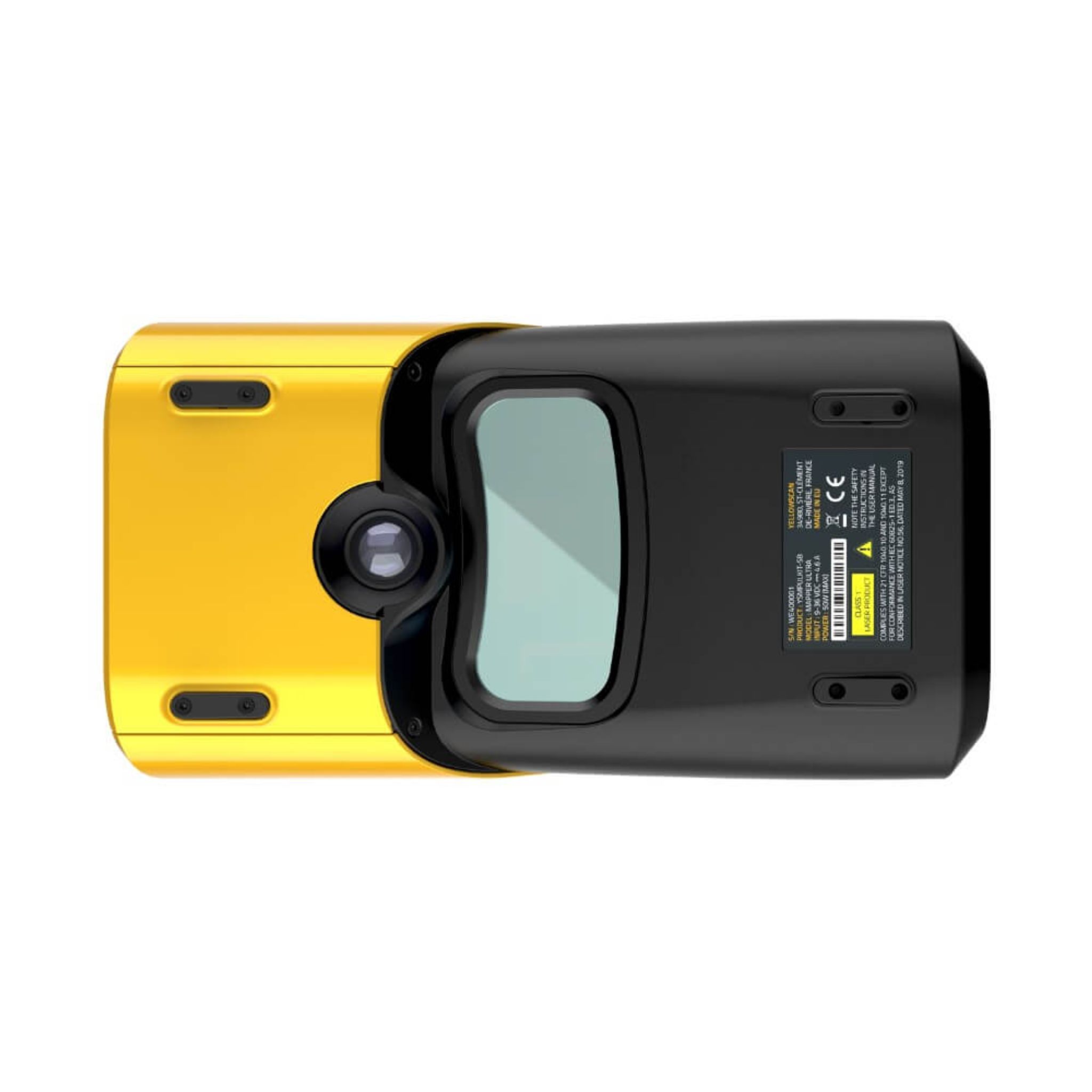
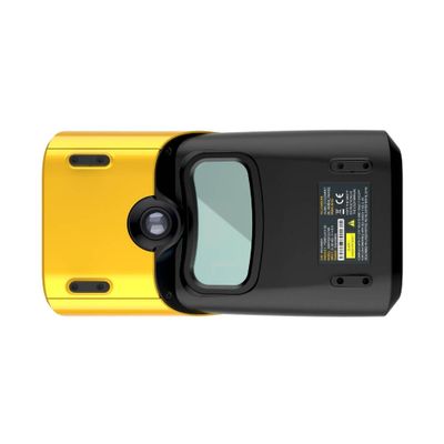
- Built-in global shutter RGB camera (for colorization)
- GNSS antenna and cable
- 2 CFexpress cards
- 2 batteries
- Battery charger
- Data cables
- Pelicase
- 1-year warranty with 1-year health check
- Calibration certificate
- Calibration files
- YellowScan CloudStation (license purchased separately)
- SBG Qinertia (license selected separately)
- Quick Release adapters for specific drones are available (specified in the quote).
| Noggrannhet | 2.5cm (Nadir, 50m höjd) |
| Precision | 2.5cm |
| Laserräckvidd | Upp till 640m |
| Synfält (FOV) | 75° |
| Returer per puls | Upp till 7 |
| Pulser per sekund | Upp till 500.000 |
| Scannfrekvens | 50-250 linjer/sek |
| Laser våglängd | 1535 nm |
| Typisk flyghöjd | 120m AGL |
| Max rek. flyghöjd | 240m AGL |
| Vikt (exkl. batteri) | 1 950 g |
| Vikt (inkl. batteri) | 2 174 g |
| Mått | 25,1 × 13,3 × 14,7 cm |
| Batteritid | ~60 min |
| Driftstemperatur | −10 till +40 °C |
| RGB Kamera | Inbyggd med global slutare |
| Lagring | CFexpress-kort |