
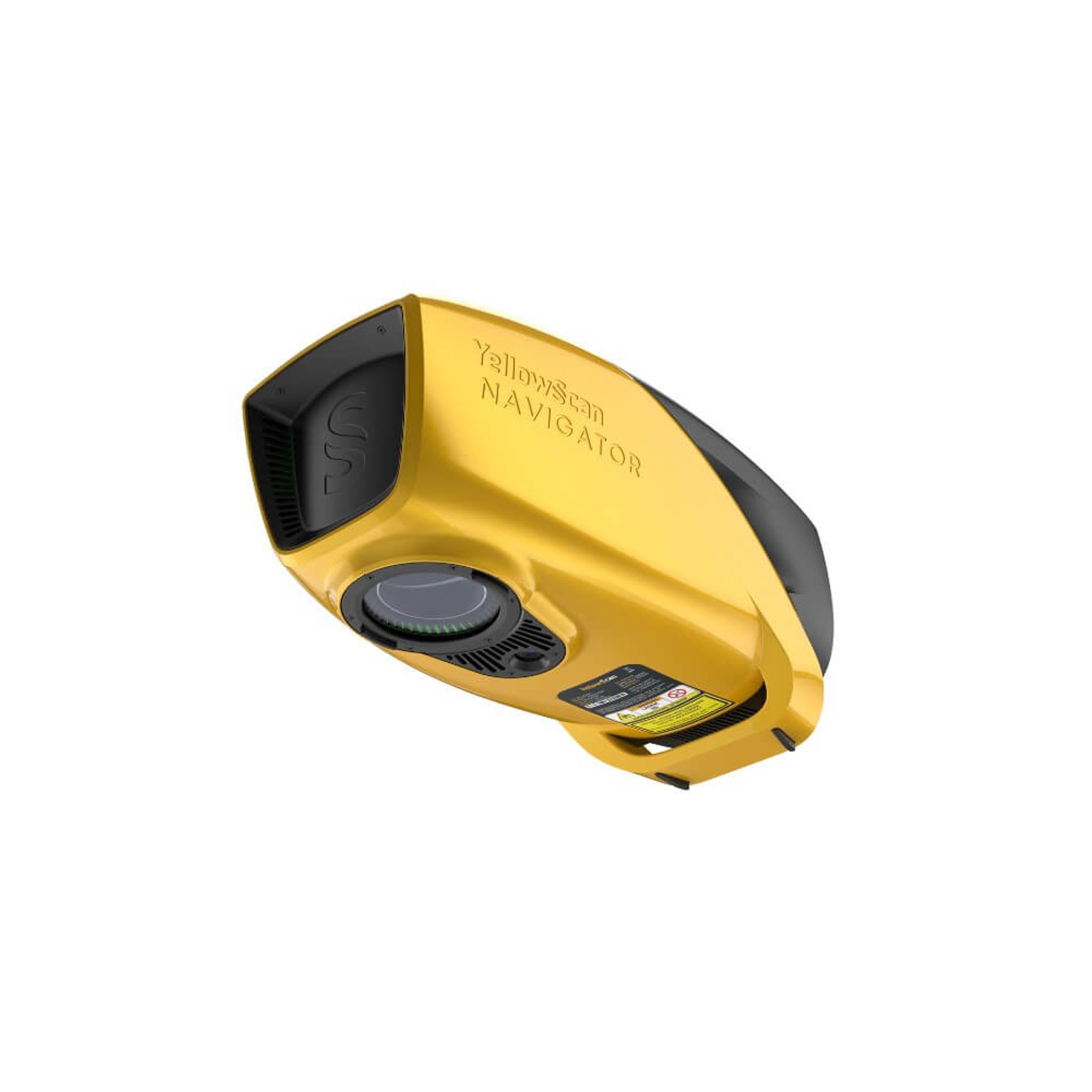
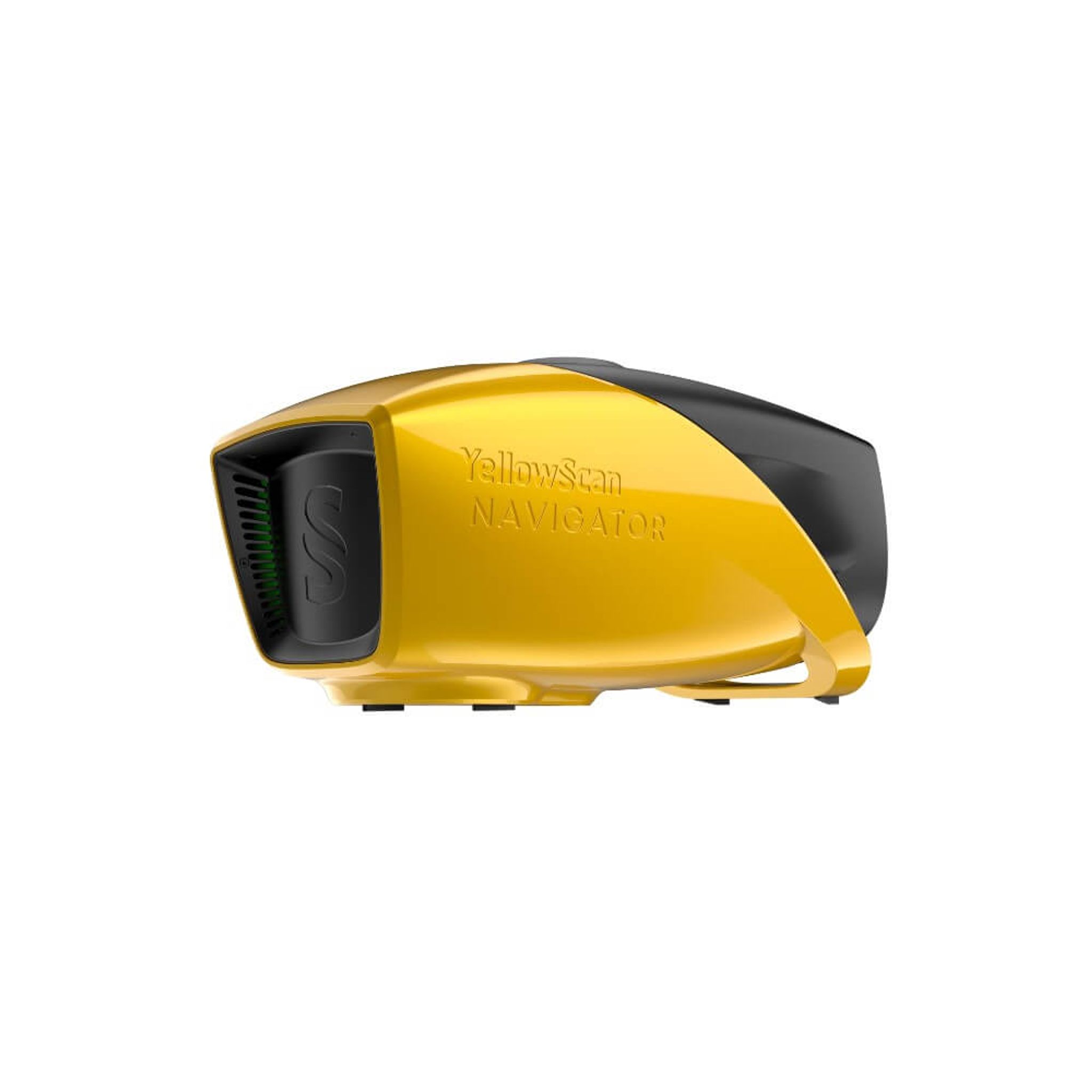
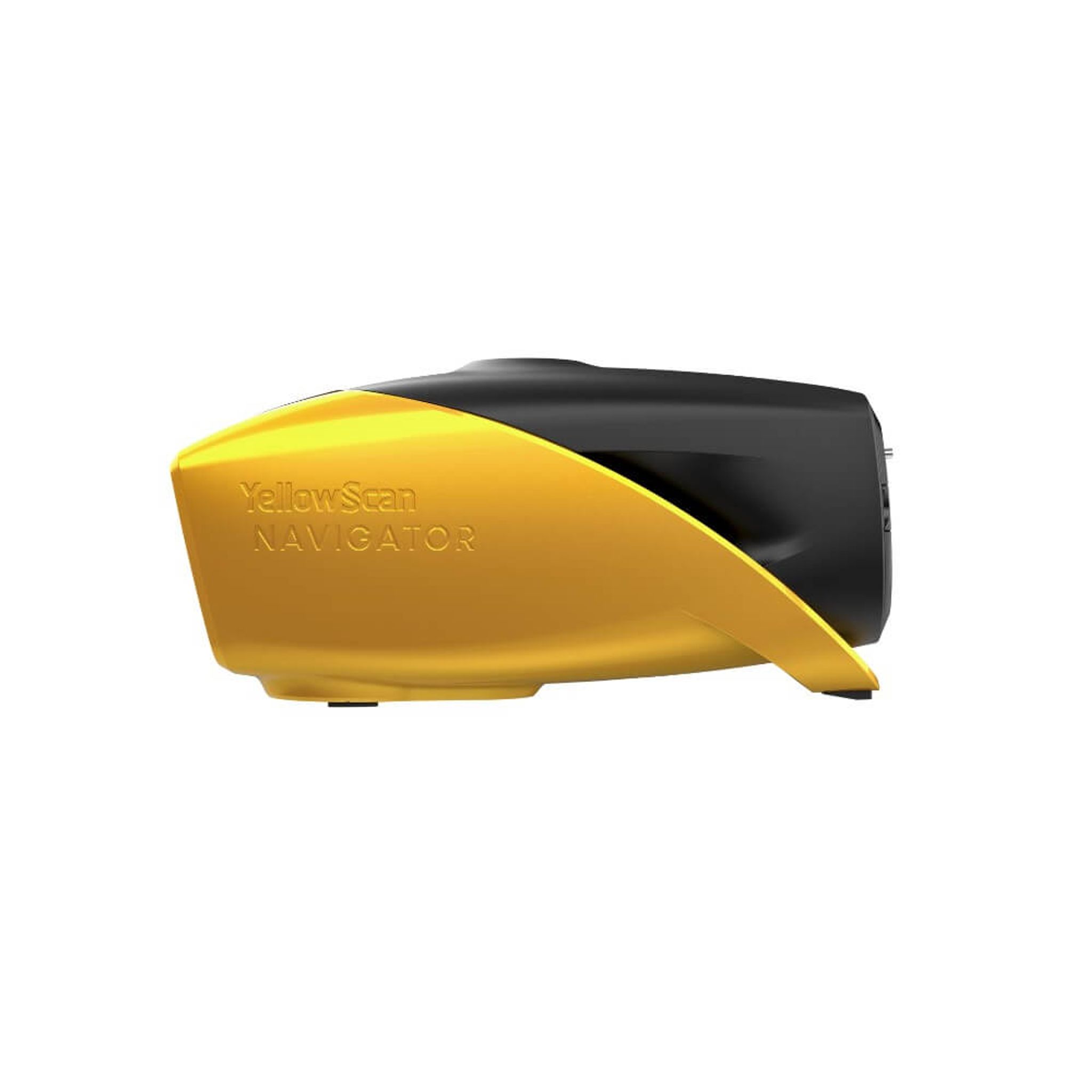
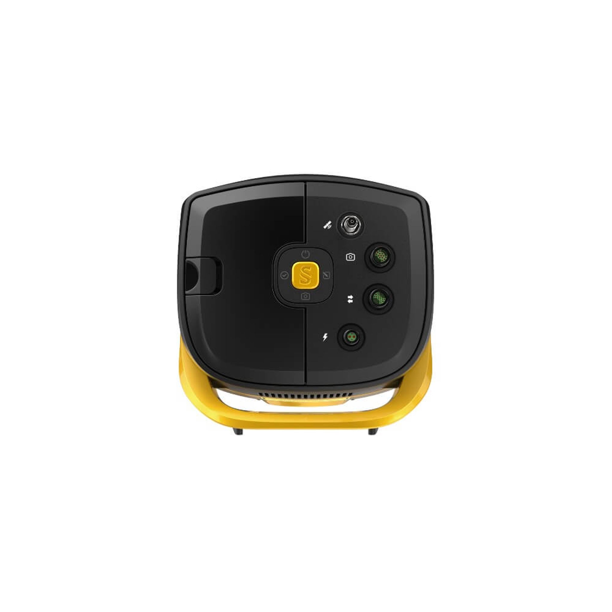
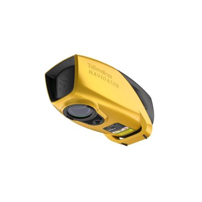
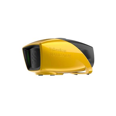
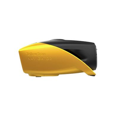
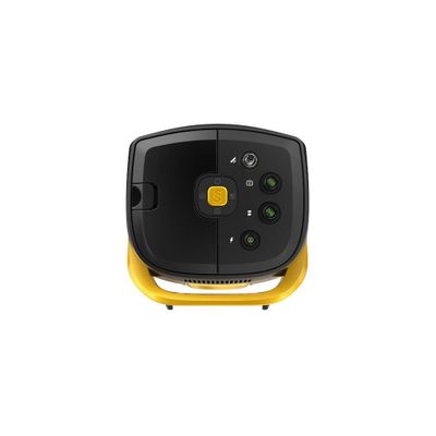


YellowScan Navigator
Contact us for a quote
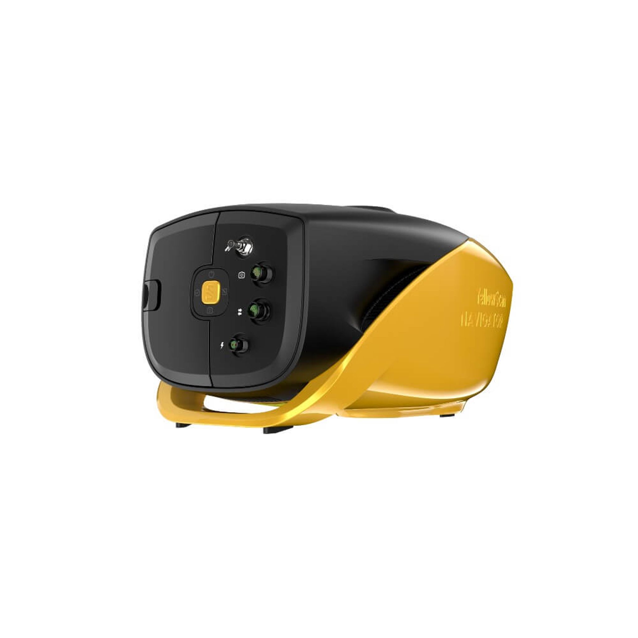
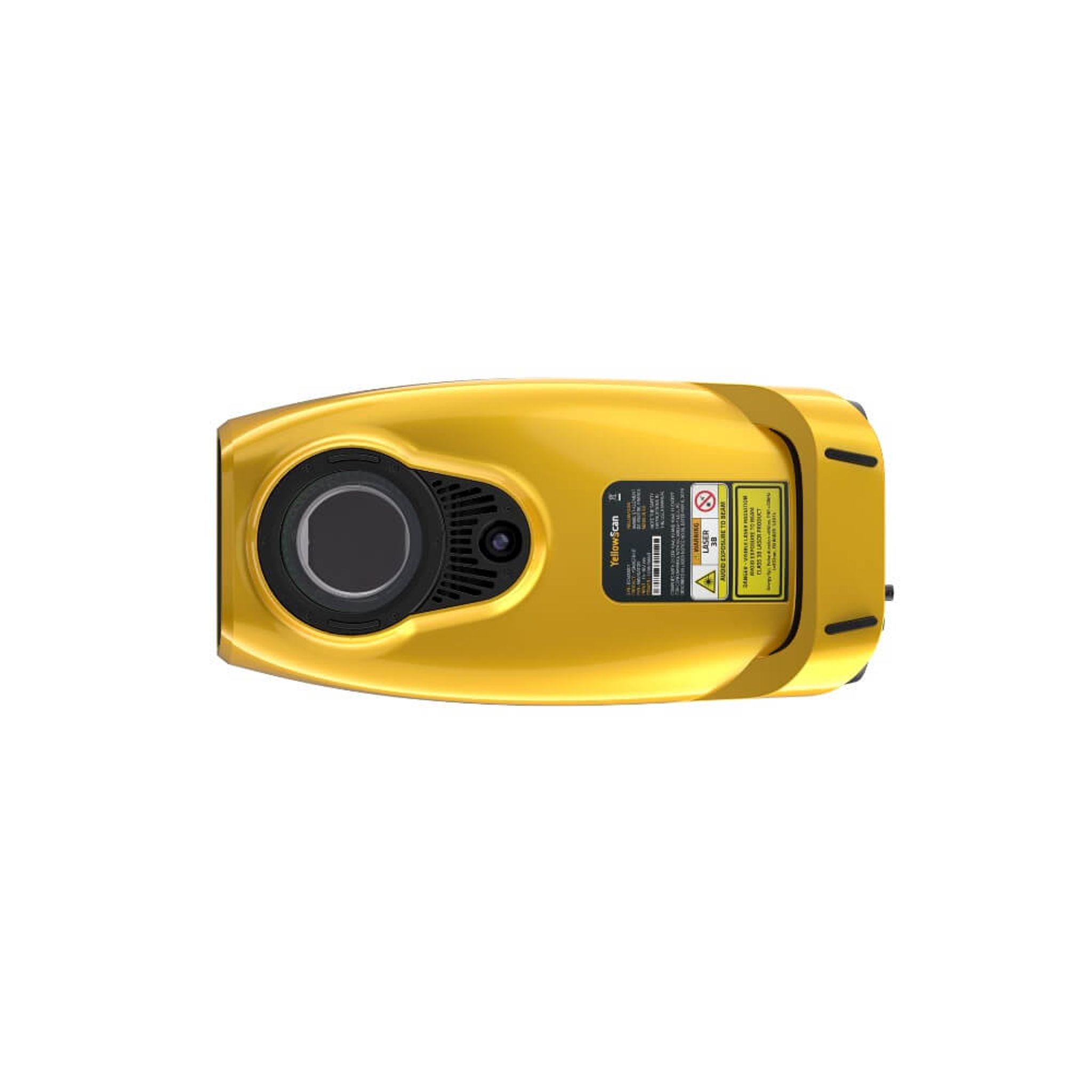
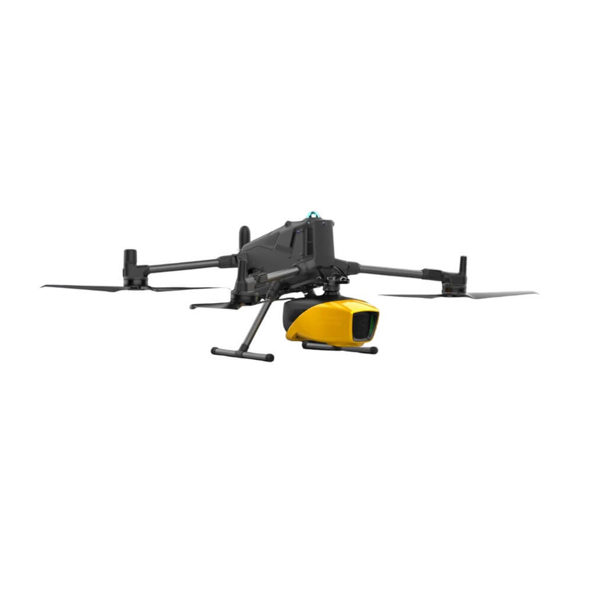
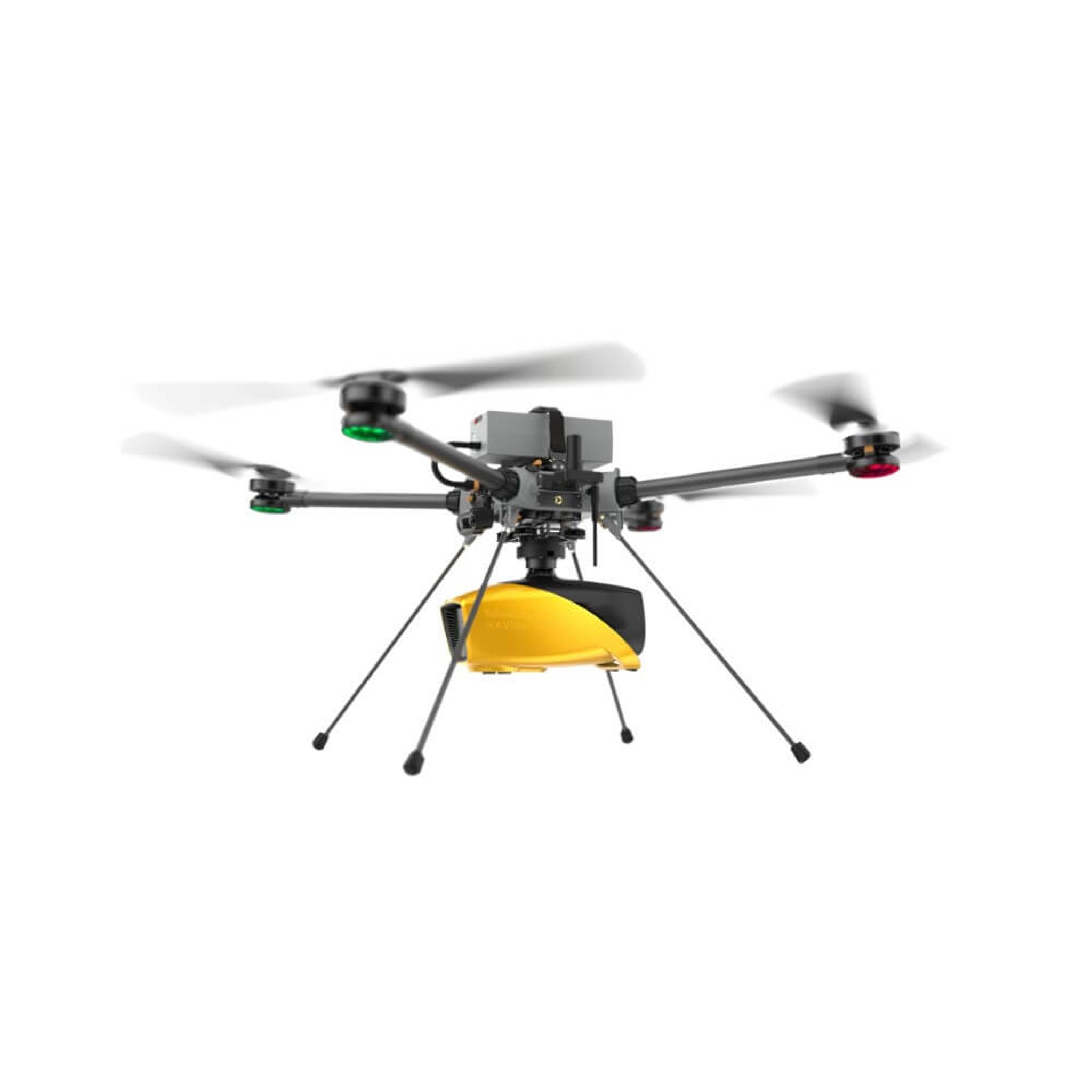
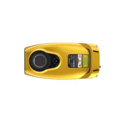
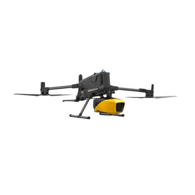
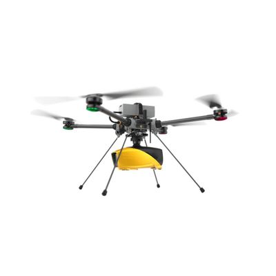
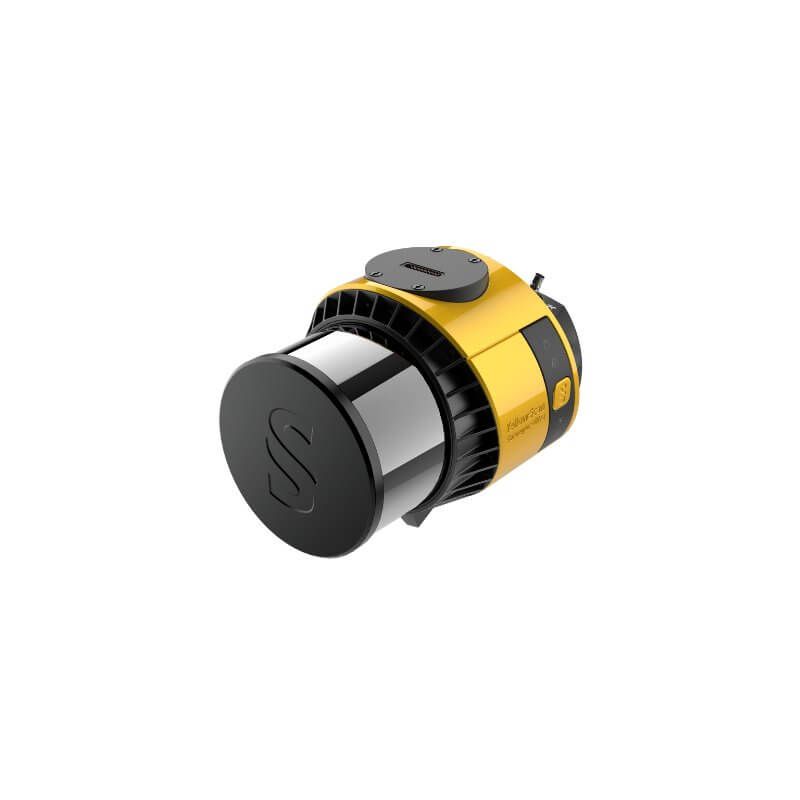
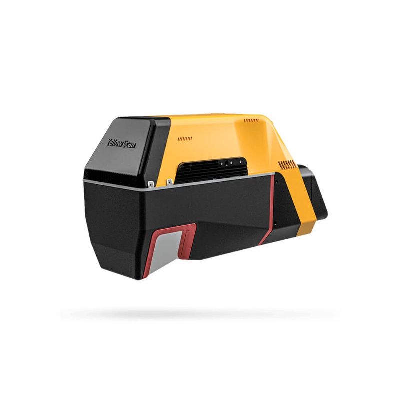
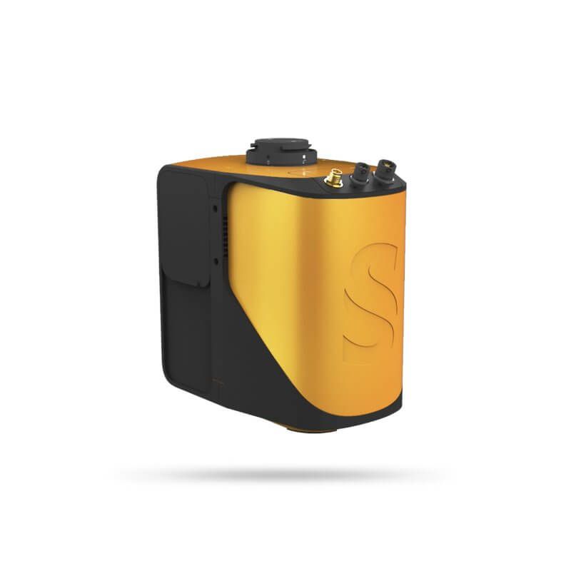
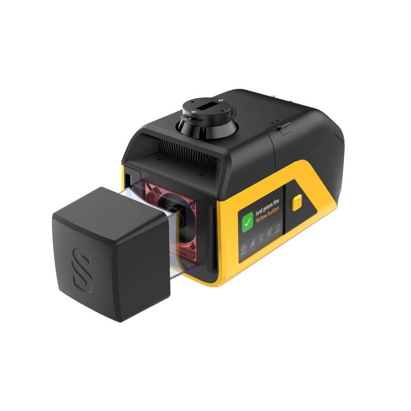
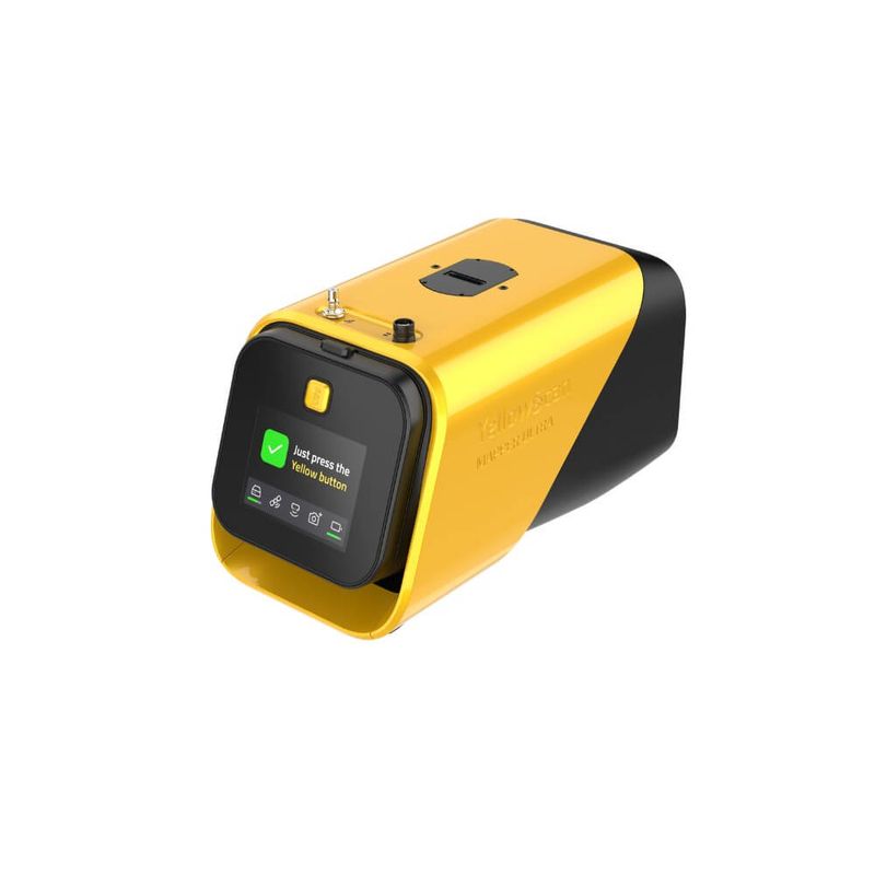
YellowScan Navigator is a bathymetric LiDAR system that uses green laser to penetrate the water surface and map the bottom in shallow waters.
Read more
Recommended accessories


Similar products
Description of YellowScan Navigator
YellowScan Navigator is a bathymetric LiDAR system that revolutionizes how you can map in shallow water. It uses green laser with a wavelength of 532nm to penetrate the water surface and map the bottom.
Like all YellowScan systems, it has been developed with the philosophy that it should be easy to use in the field and easy to process the data in their own software, CloudStation.
The system scans with a full waveform that allows the user to adjust various parameters to achieve optimal results. It also allows for more advanced analysis of the data for research purposes, among other things.
Areas of application
Navigator's primary areas of use are in the range of 0-10m depth, but in good conditions it can reach even deeper. Since it also works excellently on land, you can collect seamless data from land, the shoreline, and down underwater. This means that lakes, waterways, and coastlines can all be mapped with Navigator.
Below are some examples of specific areas of application.
River mapping - flood analysis or biotope
One of the natural areas of application is river mapping. The clean mountain water and the bottom, which often consists of stone and sand, are very well suited for mapping with Navigator. These are often locations that are difficult or time-consuming to survey using other technology, as the shallow and fast-flowing rivers are not always suitable for mapping with sonar or by manually measuring with GPS. A couple of common reasons for river mapping are to be able to perform flood analysis or map biotopes.
Coastlines - erosion analysis
Along the coast, we often have shallow areas with sandy bottoms. Here, Navigator can be used for significantly more efficient data collection than with traditional methods, as echo sounders or manual GPS measurement are very ineffective in these environments. Our coasts are often exposed to erosion and, in some cases, measures must be taken to protect both nature and the infrastructure directly adjacent to the shoreline.
Coastlines - mapping eelgrass beds
Eelgrass beds play an important ecological role for marine wildlife and have become an important indicator of the health of our marine environments. Unfortunately, they are threatened and are part of an action program. With the help of Navigator, it is possible to map these beds and calculate their distribution and biological mass.
Landfall for submarine cable
We have an incredible amount of submarine cable, and when these need to be replaced or extended, it is an excellent opportunity to use YellowScan Navigator to map the final stretch where the cable will be brought ashore, known as the landfall. By combining data from sonar in deeper water with data from Navigator in shallow water and on land, you get a comprehensive picture of the environment and can make good decisions in the design phase.
Specifications
| Weight | 4.2 kg (including battery) |
| Dimensions | 35 x 16 x 19 cm |
| Quick release | Gremsy |
| Power supply | Battery RRC2204-2 |
| Accuracy | 3 |
| Precision | 3 cm |
| Maximum visibility depth | 2 Secchi |
| Max flight altitude | 100 |
| Pulse frequency | 20kHz |
| Field of view | 40 |
| Number of returns | Up to 10 |
| Laser | YellowScan proprietary |
| IMU | SBG Quanta Micro |
| Operating temperature | 0° to +40 °C |
| NOHD | 25 |
| Laser class | 3B |